


(ECNS) — The Airborne Remote Sensing Center under the Chinese Academy of Sciences (CAS) has developed into a national-level airborne laboratory of international standards, featuring multi-payload capacity and coordinated operational capabilities, said Pan Jie, director of the center and senior engineer at the Aerospace Information Research Institute (AIR), CAS.
According to Pan, after four decades of development, the center now operates four remote sensing aircraft, marking a significant leap from having no large-scale airborne systems to importing them, and finally to independent development.
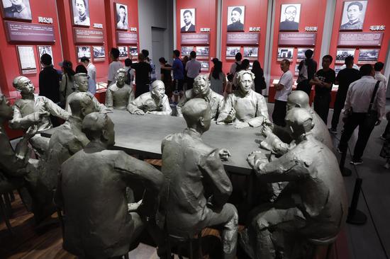
An archival exhibition titled "Tracing Aerospace Memories — The 40th Anniversary of the CAS Airborne Remote Sensing Center" opened on Tuesday in Beijing. Organized by the AIR, the showcase commemorates the center's 40-year journey, which will be officially marked in 2025.
With the theme "Development Journey and Innovation Path," the exhibition features over 400 items, including photographs and scientific documents. It highlights the development of China's airborne remote sensing sector from its early exploratory stage to major technological breakthroughs. It also showcases independent innovation behind China's new-generation airborne remote sensing system based on the Xinzhou-60 platform.
The exhibition also illustrates the center's technological contributions to national emergency response and disaster relief missions, underlining its role as a pillar of China's strategic scientific and technological capabilities.
Tong Qingxi, the founding director of the center and a CAS academician, along with early crew members of the "Award Certificate" remote sensing aircraft, donated handwritten manuscripts and valuable historical photographs to the exhibition.
Pan expressed hope that the exhibition will help the public better understand the center's historical legacy and inspire young researchers to contribute to the development and innovation of China's airborne remote sensing sector, advancing both the national remote sensing cause and broader economic and social development.
Established in April 1985, the CAS Airborne Remote Sensing Center is regarded as a milestone in the history of China's remote sensing development.
(By Evelyn)


 京公網安備 11010202009201號