RIGHT BG


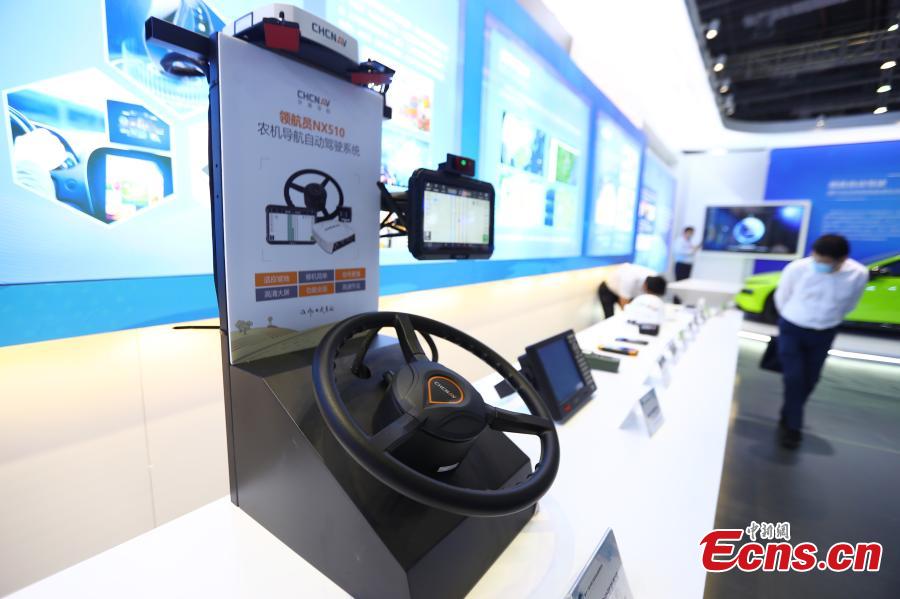
An automatic driving system of agricultural machinery based on China's Beidou satellite navigation is exhibited at an application expo in Nanchang, Jiangxi on May 26, 2021. (China News Service/Liu Zhankun)
The expo covers 18,000 square meters. More than 100 enterprises and units have brought their advanced products and developments to the exhibition.
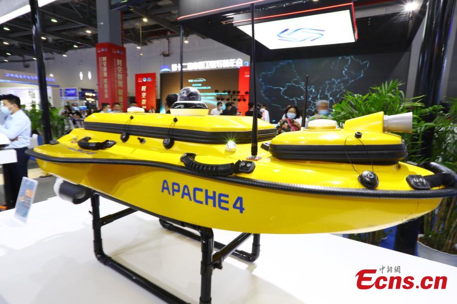
An unmanned test ship equipped with China's Beidou satellite navigation is seen at the expo in Nanchang, Jiangxi on May 26, 2021. (China News Service/Liu Zhankun)
The expo covers 18,000 square meters. More than 100 enterprises and units have brought their advanced products and developments to the exhibition.
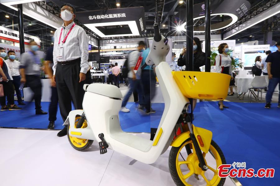
A shared bike navigated by Beidou satellite is shown at the expo in Nanchang, Jiangx on May 26, 2021i. (China News Service/Liu Zhankun)
The expo covers 18,000 square meters. More than 100 enterprises and units have brought their advanced products and developments to the exhibition.
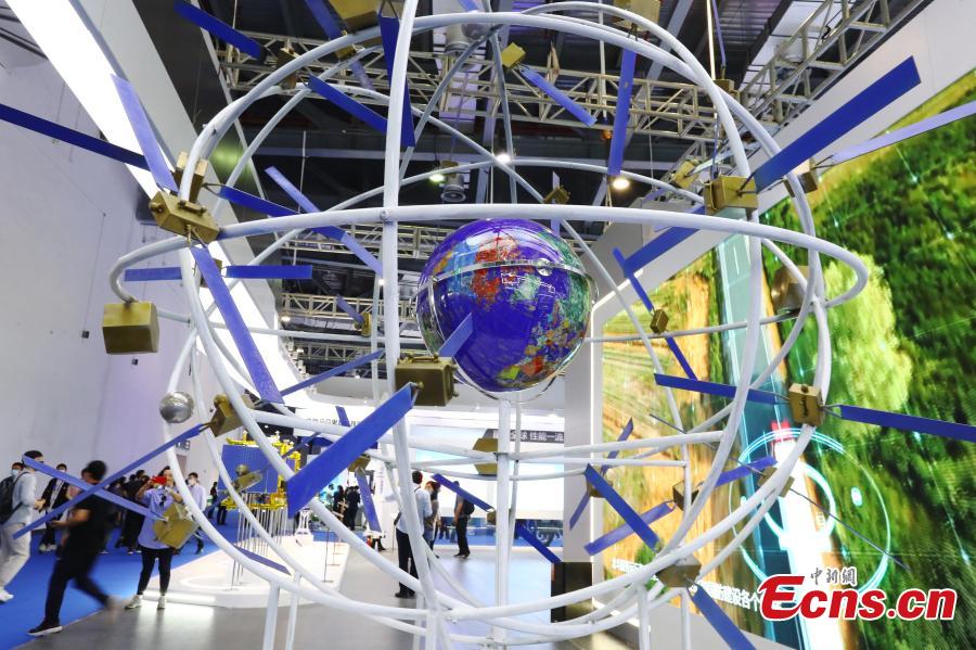
A model of the Beidou satellite navigation system is seen at the expo in Nanchang, Jiangxi on May 26, 2021. (China News Service/Liu Zhankun)
The expo covers 18,000 square meters. More than 100 enterprises and units have brought their advanced products and developments to the exhibition.
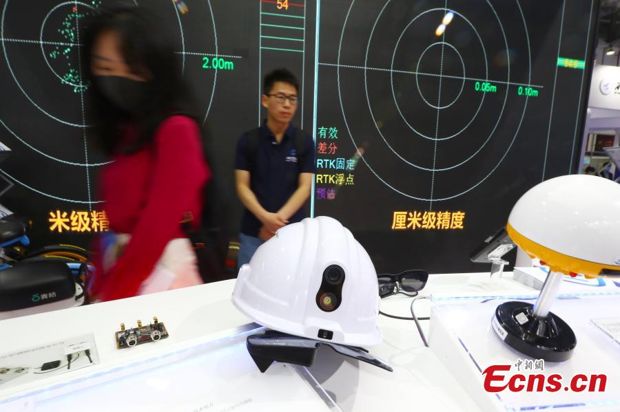
Safety helmets with Beidou high-precision positioning function are seen at the expo in Nanchang, Jiangxi. (China News Service/Liu Zhankun)
The expo covers 18,000 square meters. More than 100 enterprises and units have brought their advanced products and developments to the exhibition.
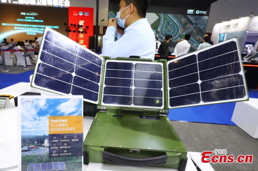
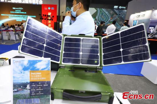
A Beidou-based portable mobile emergency monitoring station is showcased at the expo in Nanchang, Jiangxi on May 26, 2021. (China News Service/Liu Zhankun)
The expo covers 18,000 square meters. More than 100 enterprises and units have brought their advanced products and developments to the exhibition.
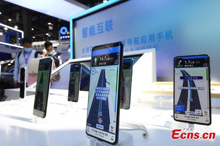
Mobile phones supporting Beidou satellite navigation system are showcased at the expo in Nanchang, Jiangxi. (China News Service/Liu Zhankun)
The expo covers 18,000 square meters. More than 100 enterprises and units have brought their advanced products and developments to the exhibition.
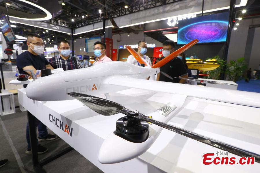
A fixed-wing drone used Beidou satellite navigation is exhibited in Nanchang, Jiangxi on May 26, 2021. (China News Service/Liu Zhankun)
The expo covers 18,000 square meters. More than 100 enterprises and units have brought their advanced products and developments to the exhibition.

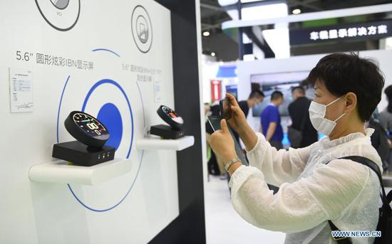
A watch equipped with Beidou satellite navigation system debuts at the expo in Nanchang, Jiangxi. (China News Service/Liu Zhankun)
The expo covers 18,000 square meters. More than 100 enterprises and units have brought their advanced products and developments to the exhibition.