RIGHT BG


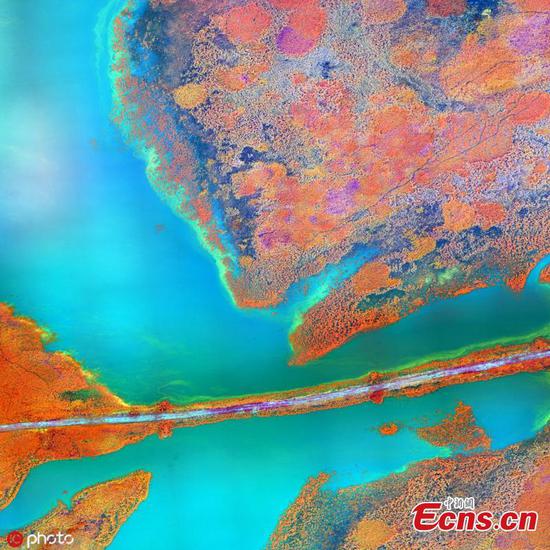
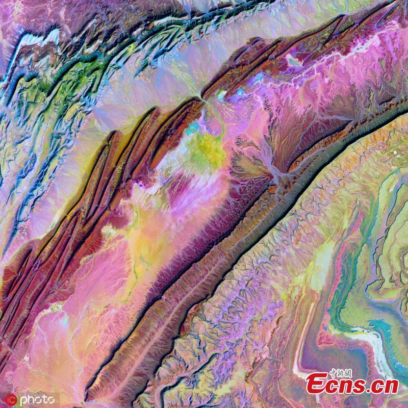
Stunning infrared images taken by satellites and drones worldwide capture the abstract beauty of Earth's landscapes from above. Collated by the U.S. Geological Survey and NASA the images, collected for scientific purposes, show a painterly quality to the shapes and colours observed across several continents. The project, Earth As Art, began in the early 2000s after scientists found the visual data they were collecting from satellites had more value than just their scientific data, and should be available to everyone living on Earth. (Photo/IC)
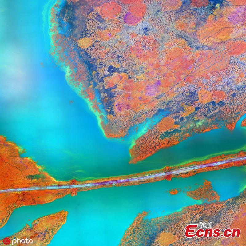
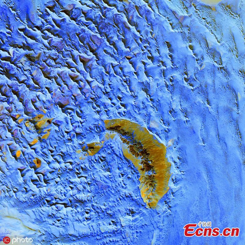
Stunning infrared images taken by satellites and drones worldwide capture the abstract beauty of Earth's landscapes from above. Collated by the U.S. Geological Survey and NASA the images, collected for scientific purposes, show a painterly quality to the shapes and colours observed across several continents. The project, Earth As Art, began in the early 2000s after scientists found the visual data they were collecting from satellites had more value than just their scientific data, and should be available to everyone living on Earth. (Photo/IC)

Stunning infrared images taken by satellites and drones worldwide capture the abstract beauty of Earth's landscapes from above. Collated by the U.S. Geological Survey and NASA the images, collected for scientific purposes, show a painterly quality to the shapes and colours observed across several continents. The project, Earth As Art, began in the early 2000s after scientists found the visual data they were collecting from satellites had more value than just their scientific data, and should be available to everyone living on Earth. (Photo/IC)
Stunning infrared images taken by satellites and drones worldwide capture the abstract beauty of Earth's landscapes from above. Collated by the U.S. Geological Survey and NASA the images, collected for scientific purposes, show a painterly quality to the shapes and colours observed across several continents. The project, Earth As Art, began in the early 2000s after scientists found the visual data they were collecting from satellites had more value than just their scientific data, and should be available to everyone living on Earth. (Photo/IC)