China launches remote sensing satellite(6/8)
2014-10-21 08:37
Xinhua
Web Editor:Li Yan
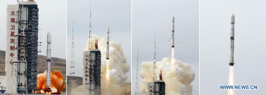
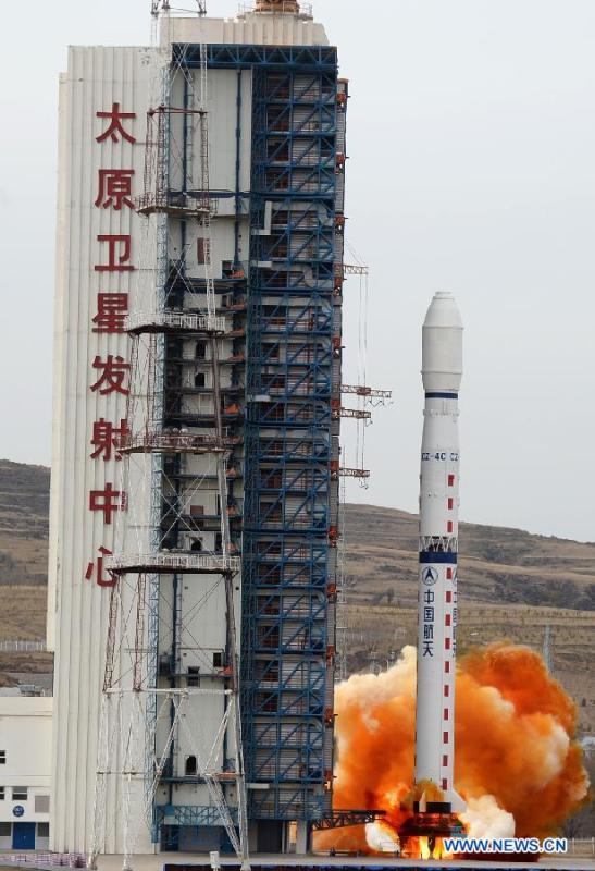
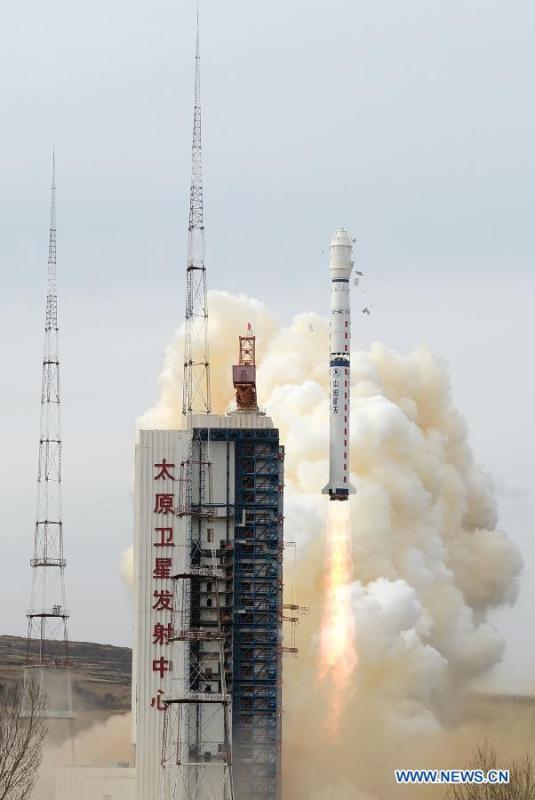
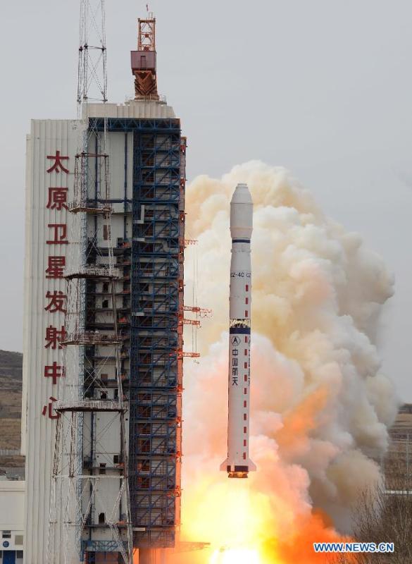
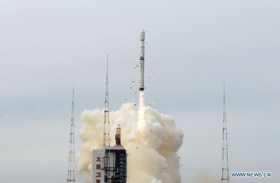
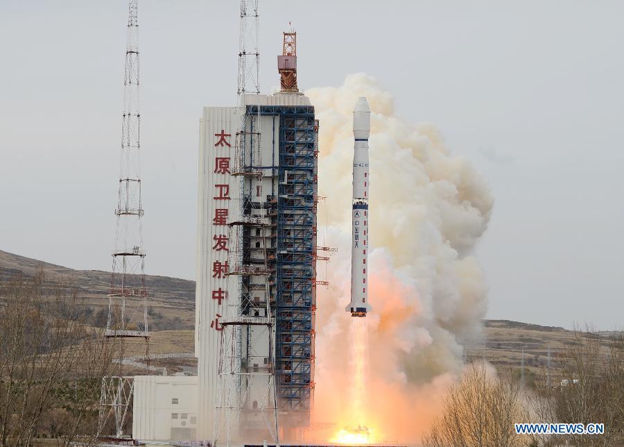
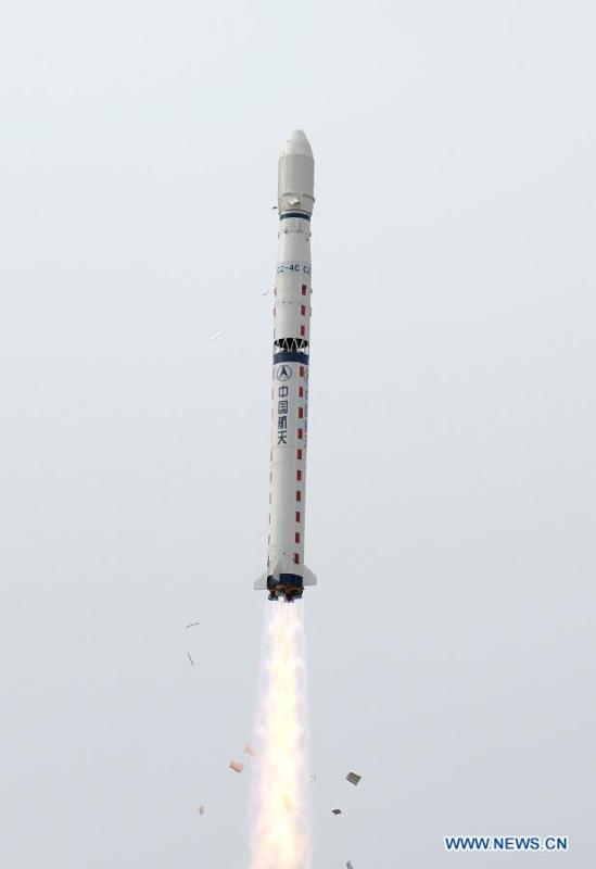
Combo photo shows a Long March-4C carrier rocket carrying the Yaogan-22 remote sensing satellite blasts off from the launch pad at the Taiyuan Satellite Launch Center in Taiyuan, capital of north China's Shanxi province, Oct 20, 2014. The satellite will be used for scientific experiments, natural resource surveying, estimating crop yields and disaster relief. (Xinhua/Wang Xiao)