In pictures: epicenter location map of Jinggu County earthquake(4/4)
2014-10-08 09:58
Xinhua
Web Editor:Li Yan
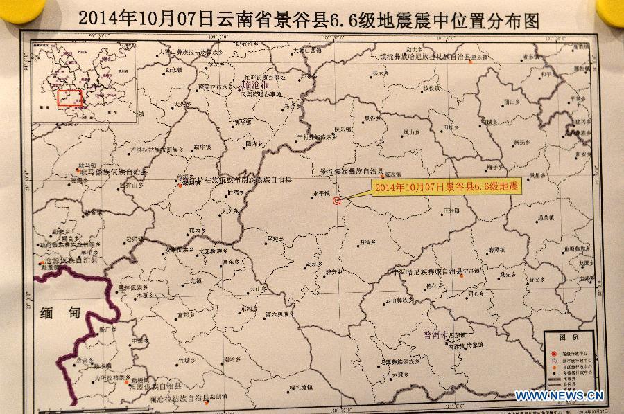
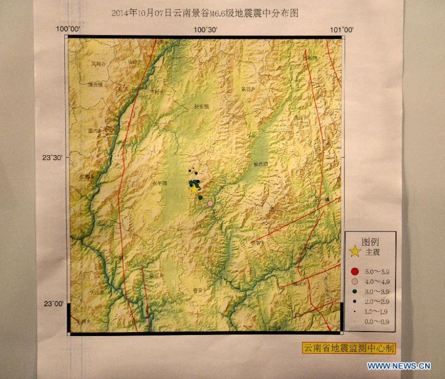
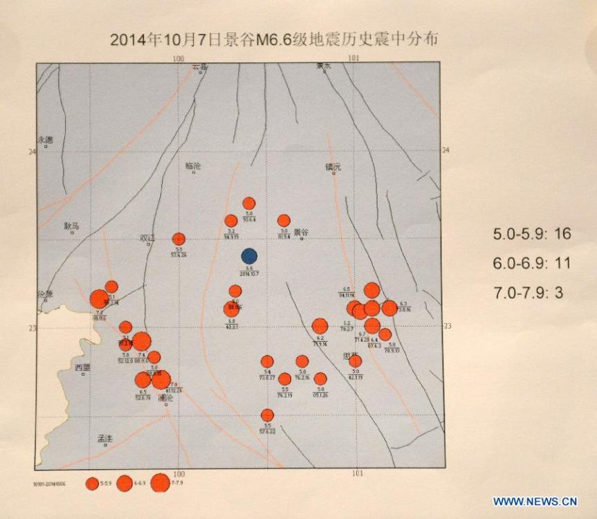
Photo taken on Oct 7, 2014 shows the epicenter location map of Jinggu County earthquake at the Seismological Bureau of Yunnan province in Kunming, capital of southwest China's Yunnan province. A 6.6-magnitude earthquake jolted Jinggu County of Pu'er City in Yunnan at 9:49 pm Beijing Time (1349 GMT), according to the China Earthquake Networks Center (CENC). (Xinhua/Hu Chao)