China releases images taken by Gaofen-1 satellite (5/10)
2014-08-18 13:19
Ecns.cn
Web Editor:Wang Yuxia
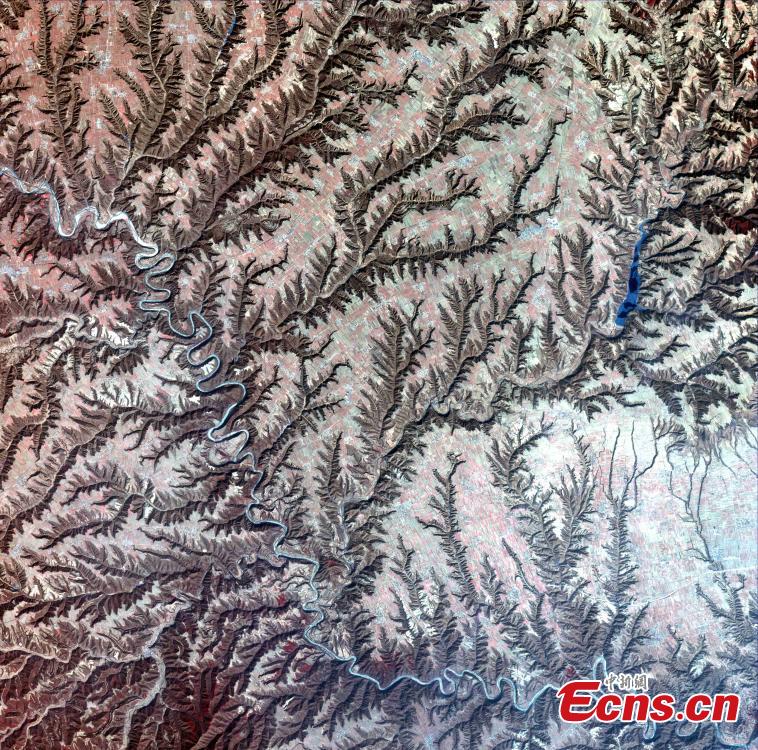
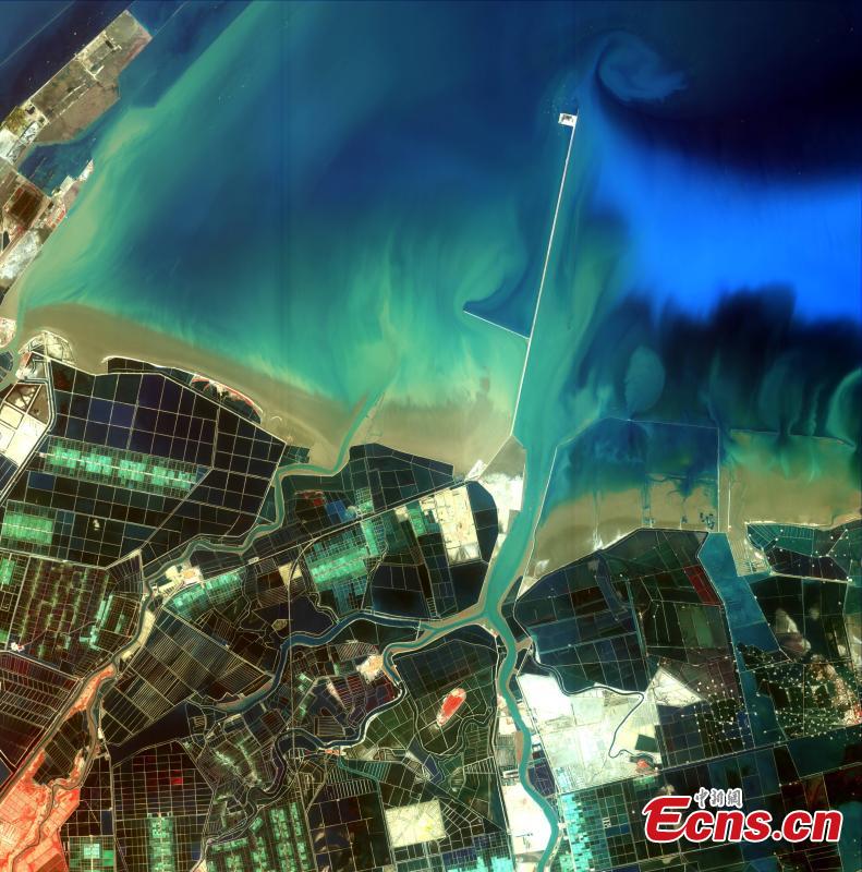
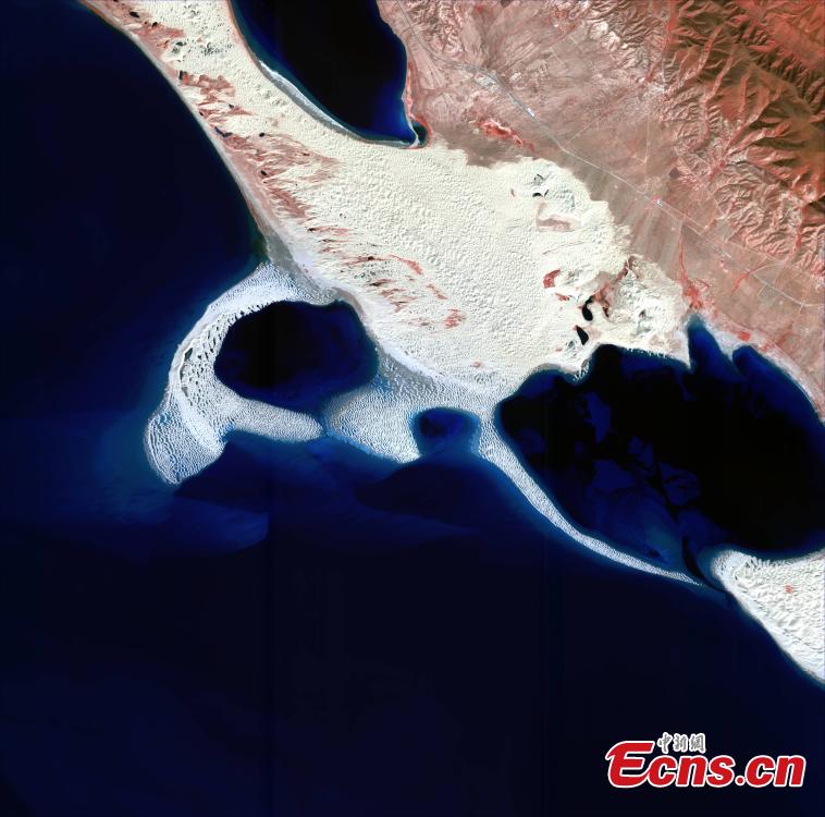
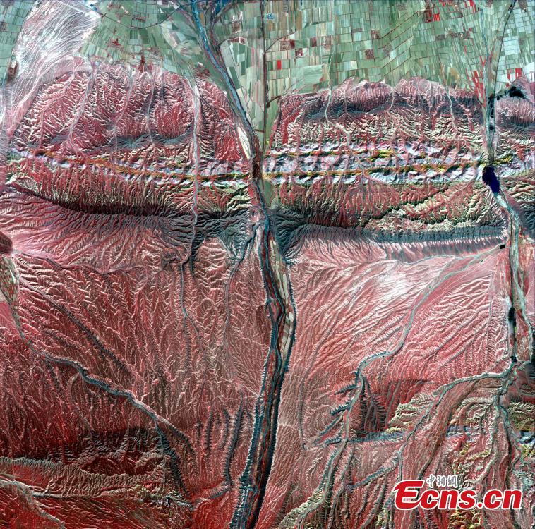
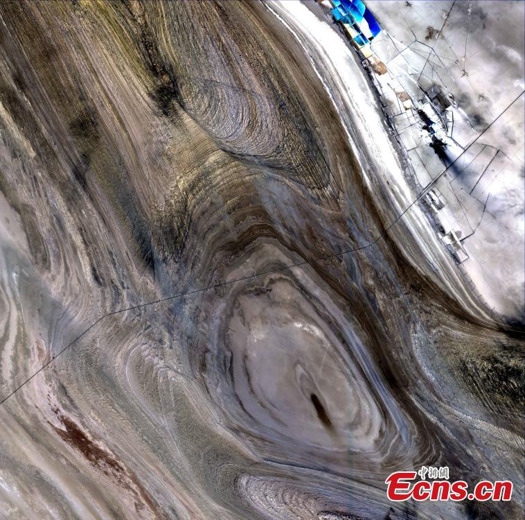
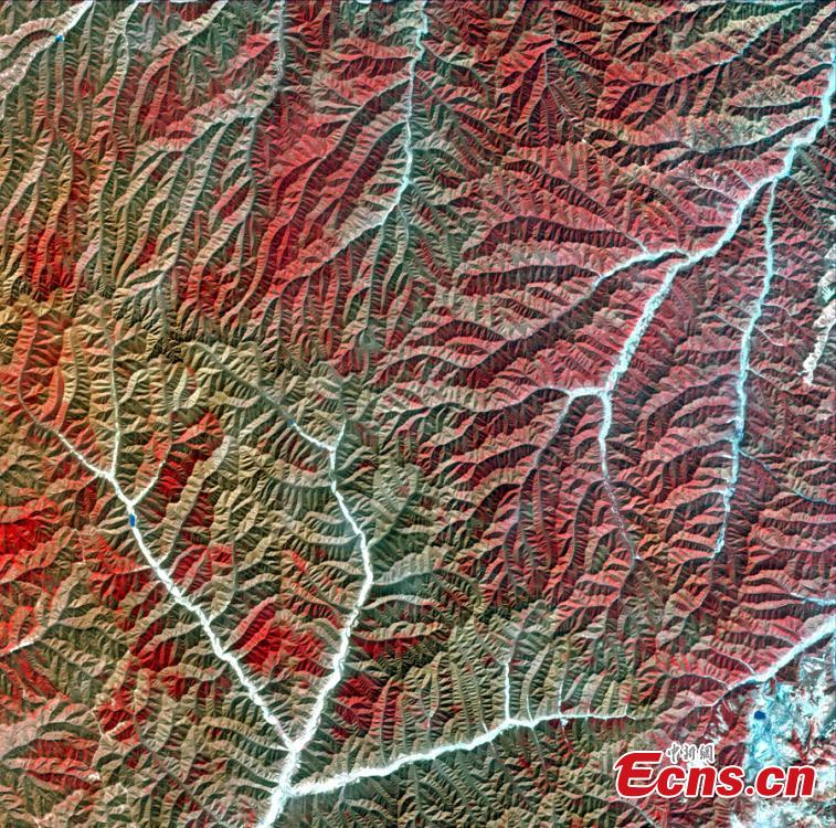
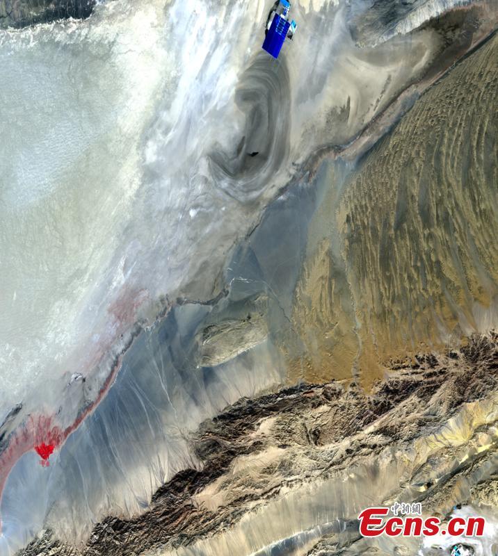
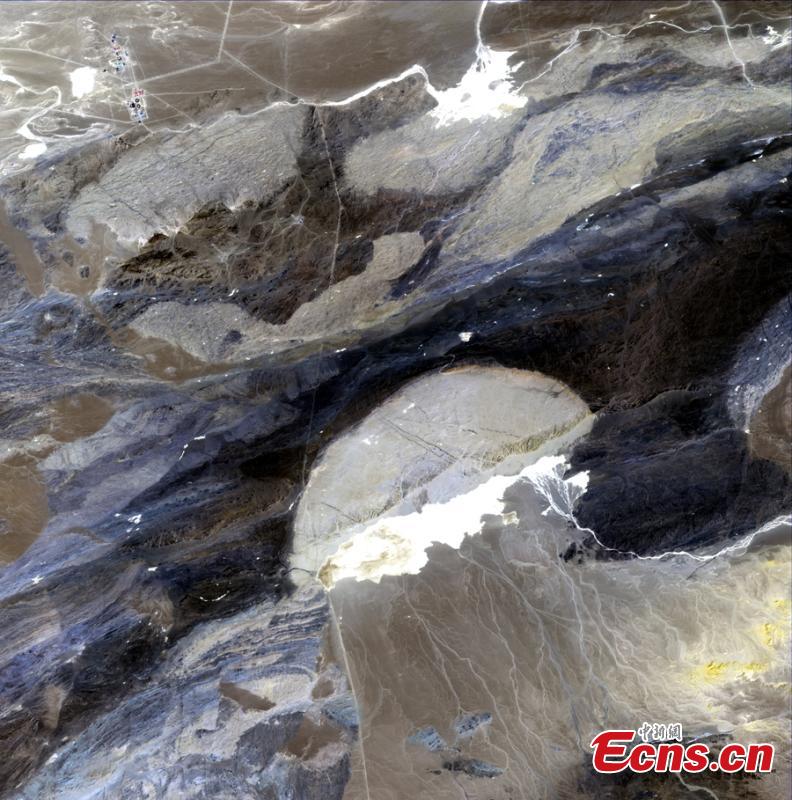
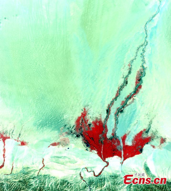
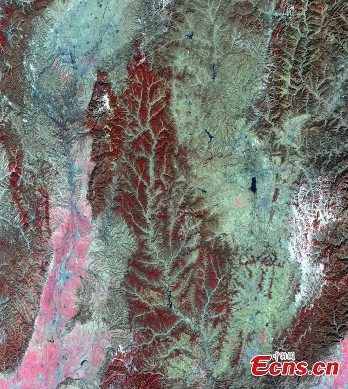
Ten images, taken by China's first high-definition earth observation satellite "Gaofen-1", are released by the State Administration of Science, Technology and Industry for National Defense on Aug. 16, 2014. The panchromatic and multi-spectral images feature natural geographical features in six provinces and regions across the country: Xinjiang, Gansu, Qinghai, Shaanxi, Shandong and Shanxi. The "Gaofen-1" was launched by a Long March-2D carrier rocket from Jiuquan Satellite Launch Center in northwest China's Gansu Province on April 26, 2013. [Photo/ State Administration of Science, Technology and Industry for National Defense]