China has built an earthquake early warning system in Chengdu, capital of southwest China's Sichuan Province, exploiting multiple broadcasting systems to alert citizens seconds before seismic waves arrive.
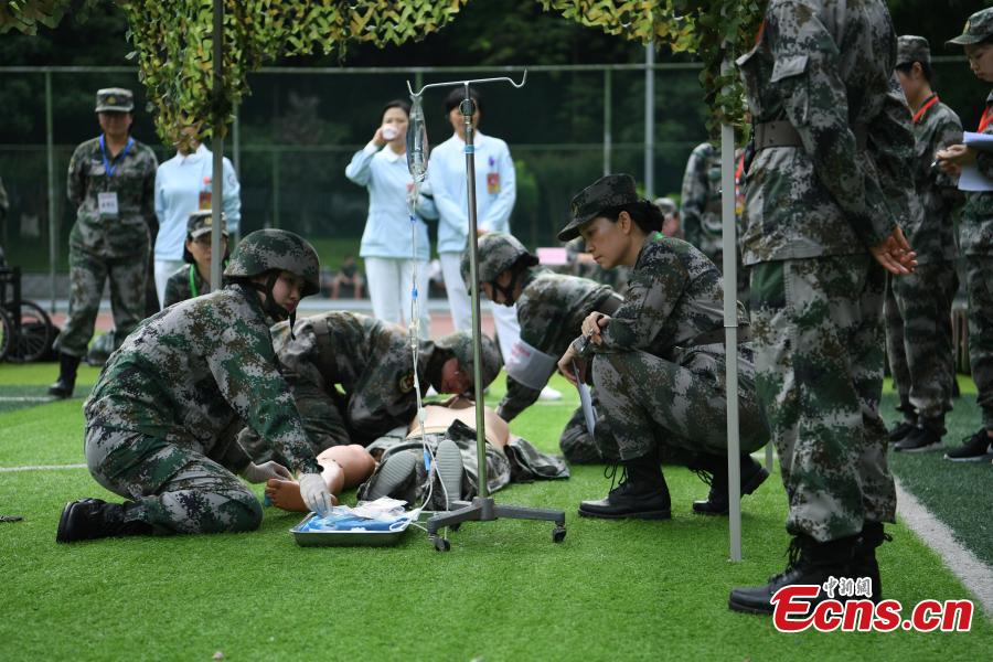
In an earthquake drill Wednesday, an early warning was sent through radio, television and cell phones to 60 residential communities in Chengdu High-Tech District.
"The earthquake early warning is not an earthquake forecast. It just uses the theory that radio waves travel faster than seismic waves to give people seconds of time ahead of the jolt," said Wang Tun, head of the Sichuan Province Key Laboratory, and Chengdu High-Tech Disaster Reduction Institute.
Wang said that aided with advanced technology from the Internet of Things, the system connected with the seismic network sends out the warning when shock waves are monitored so people have extra seconds to find shelter.
Earthquake research has found that being aware of an earthquake 3 seconds ahead can save 14 percent of casualties, 10 seconds can save 39 percent of casualties, and 20 seconds can save 63 percent of casualties.
In important sectors such as the chemical industry, nuclear industry, high-speed railways and urban metro systems, the earthquake early warning can substantially save losses and avoid secondary disasters, Wang said.
He said that currently Chengdu's warning system covered 2.2 million square km, where there are 660 million people.
The system makes China the third country in the world after Japan and Mexico with an earthquake early warning ability.
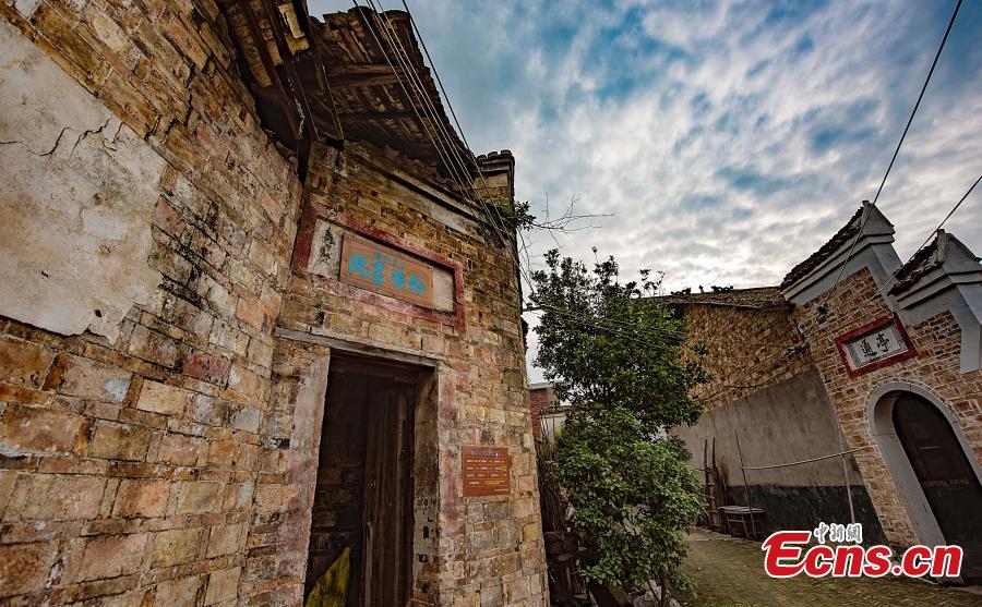
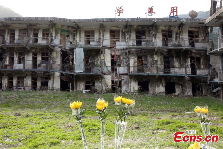
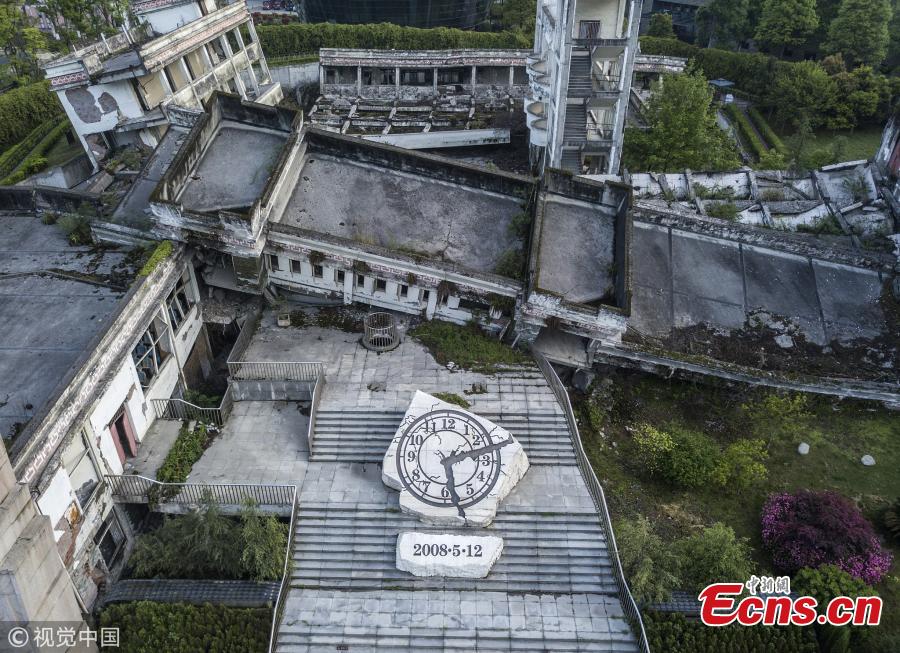
In the magnitude 7 quake that rocked Jiuzhaigou County, Sichuan, on Aug. 8, 2017, the quake alert was sent out 71 seconds before the first seismic wave arrived.
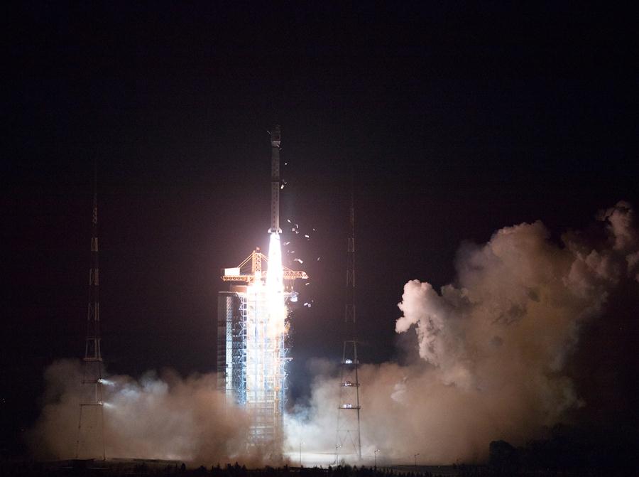
China started to build 2,000 monitoring stations in Sichuan and neighbouring Yunnan Province to collect data on underground stress and energy 8 to 20 kilometers below the surface of the earth, providing researchers with potential insights to better monitor seismic activities and make earthquake forecasting.