


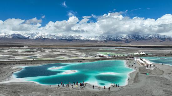
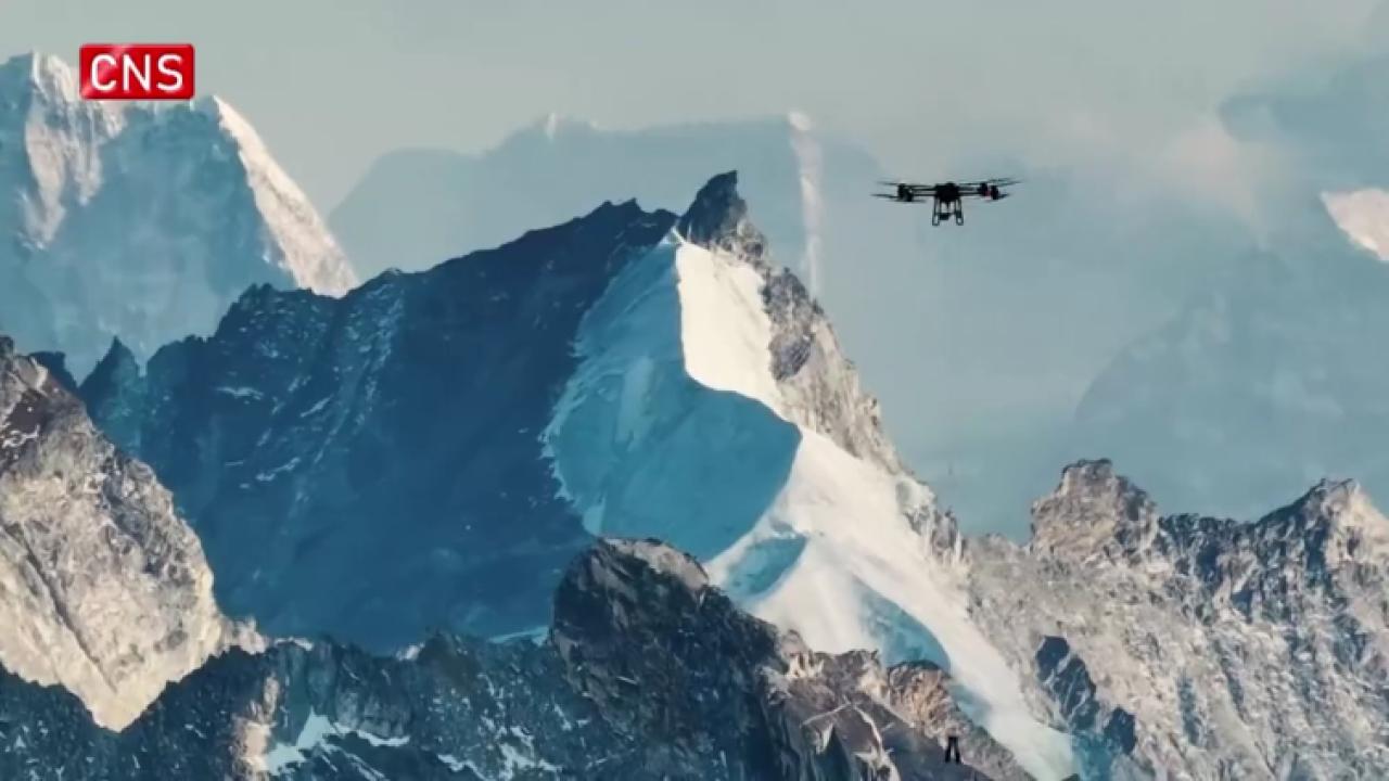
Precipitation across the Tibetan Plateau, which is known as Asia's water tower, has been significantly underestimated, Chinese researchers said in a paper published in the Proceedings of the National Academy of Sciences late last month.
The researchers, from the Chinese Academy of Sciences' Institute of Tibetan Plateau Research, said the underestimation is caused by the measuring instruments used and the method of calculation, and called for a "redesigned precipitation observation strategy" to remedy it.
A substantial proportion of precipitation over the plateau falls as snow, often accompanied by strong winds.
The researchers said ground-based instrument monitoring is widely regarded as the primary and most reliable technique for acquiring precipitation data, but traditional ground-level precipitation gauges have a limited cross-section in the collection cylinder and a sealed bottom.
"This design results in the formation of upward supporting airflow under windy conditions, which in turn prevents raindrops or snowflakes from entering the gauge cylinder. Consequently, this leads to an underestimation of precipitation in this region," said Miao Chiyuan from Beijing Normal University, the first author of the study.
Miao said the instrument measurement error caused by strong winds is the primary factor affecting the accuracy of precipitation measurements in high-altitude regions, with errors under extreme weather conditions potentially exceeding 100 percent.
Apart from the equipment, variations in altitude can cause mistakes in the data collected. Weather stations in the region are often placed in valleys or lower areas for convenience, which means they miss out on precipitation that occurs at higher elevations. Additionally, the limited number of stations and their uneven distribution can make the data even less accurate, according to the study.
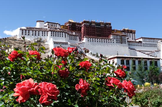
The Tibetan Plateau, home to more than 100,000 square kilometers of glaciers and 1 million sq km of frozen soil, serves as the source of 10 major Asian river systems flowing into 10 countries, and supports the lives of about 2 billion people.
"In the context of accelerated warming, precipitation across the Tibetan Plateau plays a critical role in water cycles. Accordingly, obtaining reliable precipitation information… is a prerequisite for water cycle analysis, future climate projections, and water-related disaster risk assessments," said the institute's Li Xin, the corresponding author of the research.


 京公網安備 11010202009201號