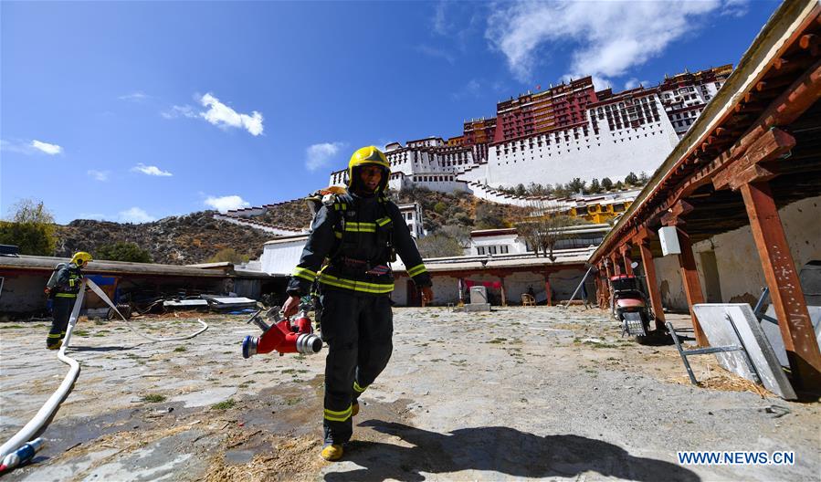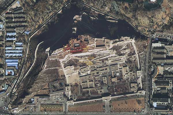
Potala Palace in Lhasa, Tibet autonomous region, is shown in an image released by the SuperView network. (Provided to China Daily)
China's first commercial high-resolution Earth observation satellite network has begun to operate, its developer said.
China Aerospace Science and Technology Corp, the country's major space contractor, has released several images taken by SuperView 1A and 1B, the first two satellites of the SuperView system.
The images show the Potala Palace and a local convention center in Lhasa, capital of the Tibet autonomous region, as well as the Hong Kong Convention and Exhibition Center.
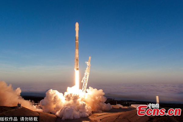
The SuperView 1A and 1B were lifted atop a Long March 2D carrier rocket on Dec 28 from the Taiyuan Satellite Launch Center in Shanxi province. They entered preset orbits on about Tuesday and have sent more than 1,200 ground images back to the control center, according to the State-owned CASC.
The two are operating at an altitude of 500 kilometers above the Earth, with a panchromatic resolution of 0.5 meters and multispectral resolution of 2 meters, said Zhang Xiaomin, a senior researcher at the company's China Academy of Space Technology, who oversees the system's development.
Zhang said that compared with foreign commercial Earth observation satellites, SuperView satellites have better resolution, accuracy and coverage.
China now operates the Gaofen network that has four satellites in service, but the system mainly serves government departments and the public sector rather than businesses, said Yang Yike, director of high-resolution satellite projects at CASC.
The two identical satellites are part of the SuperView network of at least 24 Earth observation satellites, which CASC expects to become one of the world's largest commercial providers of space imagery and geospatial data, Yang said. He added that the whole system will be built by 2022.
Once the network is completed, it will consist of 16 optical satellites like the SuperView 1A and 1B, four optical satellites that are more advanced, four radar satellites and several mini-satellites, according to Yang.