The Gaofen 4 high-resolution Earth observation satellite officially started operating on Monday to facilitate disaster relief and environmental pollution control.
Zheng Guoguang, head of the China Meteorological Administration, said Gaofen 4 is at least 10 times more efficient than the Fengyun satellites, which are pillars of the nation's space-based weather observation system. He said the strong capability of Gaofen 4 will substantially improve the administration's detection and response to extreme weather such as typhoons and rainstorms.
"We will use it to monitor floods and rainstorms in the south. It will also be used to forecast the weather during the G20 Summit in Hangzhou in September," Zheng said.
Xu Dazhe, director of the China National Space Administration, which oversees the Gaofen project, said that during its test in orbit over the past six months, Gaofen 4 monitored several disasters and helped environmental protection authorities detect smog as well as sources of air pollutants.
The satellite will play a big role in water quality control, air pollution measurement, forest fire detection and disaster early-warning, he added.
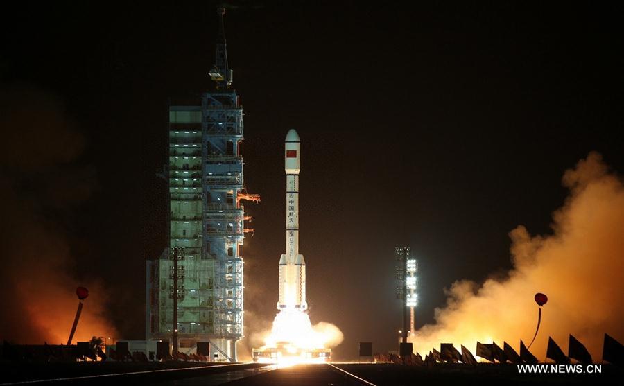
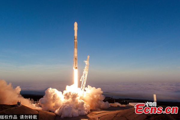
The 5-metric ton Gaofen 4 was sent skyward atop a Long March 3B rocket from the Xichang Satellite Launch Center in Sichuan province on Dec 29. Seven days later, it entered a geosynchronous orbit at 36,000 km above the ground and began to carry out a six-month in-orbit test.
It has a design lifespan of eight years, the longest of China's Earth observation satellites.
It is able to cover China and the whole of Southeast Asia and can shift to multiple targets. Each of the satellite's images can cover a 160,000-square-km region, equivalent to the area of Henan province.
China launched the Gaofen project in May 2010. The first in the series, Gaofen 1, was sent into space in April 2013. Another three Gaofen satellites were launched in 2014 and 2015.
So far, images and data generated by Gaofen satellites have helped around 1,800 government departments, institutes and companies in 18 sectors, and 26 provincial-level regions have set up a Gaofen data applications center, the China National Space Administration said.


