China donated a new Global Land Cover Dataset to the United Nations for this year on Tuesday, providing the world solid, science-based information for making wise decisions for sustainable development.
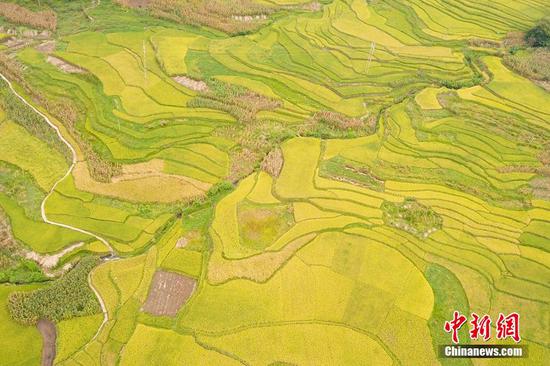
Covering a total land surface of 149 million square kilometers, this year's dataset is the world's first open-access map of the Earth's land cover with a high resolution of 30 meters, according to the Ministry of Natural Resources.
The datasets, which are released every 10 years, are commonly known as the GlobeLand30. This year's dataset comprises 10 types of land cover, including forests, grasslands, glaciers and wetlands. A total of 966 sub-datasets are included.
In 2014, China donated versions of the GlobeLand30 to the UN for the year 2000 and 2010, as a contribution toward global sustainable development and combating climate change.
So far, the two versions have been used by more than 10 UN branches, benefiting users from 130 countries worldwide, according to the ministry.
Moreover, nearly 600 universities and 400 research organizations worldwide, including the World Wide Fund for Nature and the United States' NASA, have used datasets donated by China.
According to Wu Wenzhong, head of the ministry's surveying and mapping department, those datasets were mostly used for research on climate change, biodiversity, sustainable development, food security and disaster prevention.
For the first time, the datasets for this year provided a high-resolution map of all of Antarctica, according to Chen Jun, academician of the Chinese Academy of Engineering.
"It is also the first time that high-latitude regions of the Earth were covered by a high-resolution map," said Chen, who explained that previous types of these maps only covered regions at latitudes between 85 degrees between the two poles.
Wu said China has helped to train more than 300 professionals from 50 countries to use the datasets.
"The new version covered the entire land area of the Earth. And its accuracy has improved by 10 percent compared to the previous ones," said Feng Guangxian, director of the National Geomatic Center of China.
These datasets will be valuable for monitoring environmental changes and for resource management at global, regional and local scales, said Wang Qian, deputy head of the ministry's international department.
"GlobeLand30 will promote scientific data sharing in the fields of Earth observation and geospatial sciences. It will also contribute to the evaluation of the UN's sustainable development goals, making scientific targets for our future efforts," he said.