


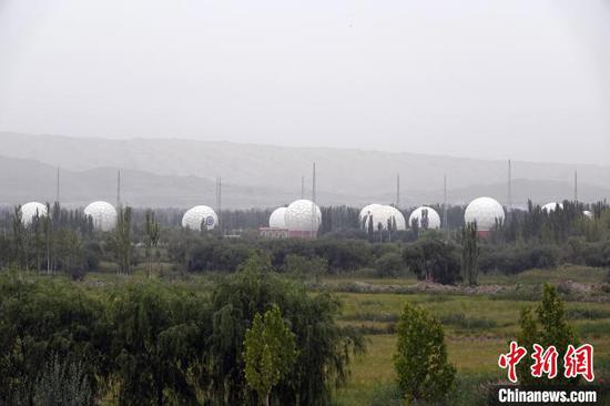
Photo shows a remote sensing satellite ground station in Kashgar station, northwest China's Xinjiang Uyghur Autonomous Region. (Photo/China News Service)
(ECNS) -- China has successfully established an integrated satellite data processing network with Beijing its operation management and data processing headquarters, alongside five support stations, after more than 30 years of development, according to the Aerospace Information Research Institute, Chinese Academy of Sciences on Wednesday.
Comprising the stations of Miyun in Beijing, Kashgar in northwest Xinjiang Uyghur Autonomous Region, Sanya in south Hainan Province, Lijiang in southwest Yunnan Province, and Mohe in northeast Heilongjiang Province, the network has received, processed and archived data for more than 76 Chinese and foreign satellites (50 are currently in orbit).
The ground station manages more than 600TB of historical data dating from 1986 to the present, leading the world in the volume of satellite data received and processed, while serving as China's longest-running archive of Earth observation satellite data.
The network has a total of 38 large-diameter data receiving antennas, more than 10 high-speed optical fiber data transmission links, and a S/X/Ka-band antenna system with a visible range of ground stations covering the entire Chinese territory and 70 percent of the land area of Asia.
China's first remote sensing satellite ground station, Miyun, was put into operation in 1986, enabling it to directly acquire satellite remote sensing data and open up a new era of remote sensing technology.
As China's core infrastructure in the field of space information, its remote sensing satellite ground station is a reliable data source for space observation, and undertakes data receiving tasks for all civilian land observation and space science satellites, including the China resources, environmental disaster reduction, Gaofen, and space science series.
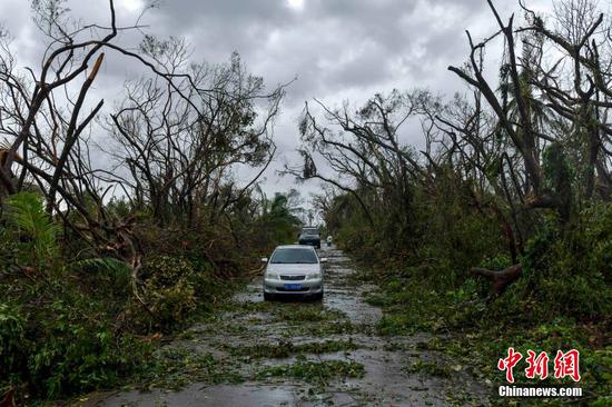
Ground stations have carried out real-time data acquisition and disaster monitoring, providing strong support for relevant national decision-making and effective support for international disaster reduction, said Li Tong, senior engineer at the Chinese Academy of Sciences, and deputy director of China Remote Sensing Satellite Ground Stations.


 京公網安備 11010202009201號