


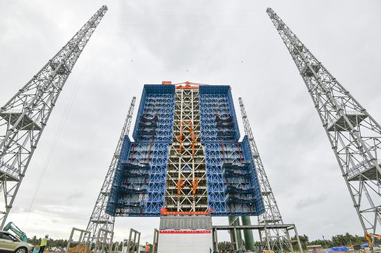
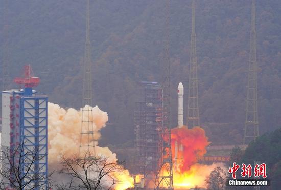
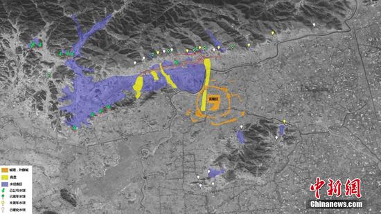
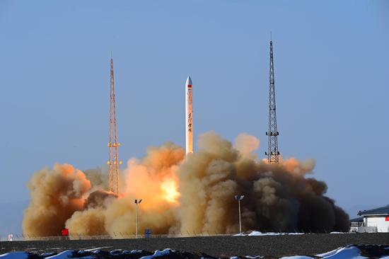
(ECNS) -- China's L-SAR 01 satellite group has been put into use after in-orbit tests, according to the China National Space Administration on Friday.
The L-SAR 01 is a dual-satellite group that consists L-band synthetic aperture radar (SAR), named L-SAR 01A and L-SAR 01B.
These satellites will provide high-resolution operational deformation monitoring services to the geological industry, focusing closely on areas such as geology, land, disaster reduction, surveying and mapping, earthquakes, forestry, and grasslands.
It will enhance emergency response to major disasters in China and provide monitoring services during major earthquake disasters and concerning the country's forest and grassland resources.


 京公網(wǎng)安備 11010202009201號(hào)