


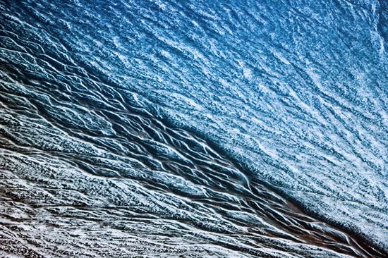
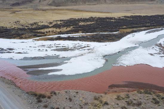
China's space agency on Tuesday released its first group of images captured by the country's remote sensing satellite Gaofen-5 01A, which can be used for greenhouse gas detection, inland water quality monitoring and mineral resource survey.
The 14 images cover global ozone column concentration monitoring, global nitrogen dioxide column concentration monitoring, brightness temperature monitoring and sea ice monitoring, according to the China National Space Administration.
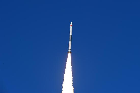
Gaofen-5 01A, a hyperspectral Earth observation satellite launched into space on Dec. 9 last year, is providing data for pollution reduction work, environmental monitoring, natural resource surveys and climate change studies.
The satellite runs in the sun's synchronous regression orbit, 705 kilometers above Earth. To date, it has returned 320 terabytes of data and produced 12,256 level-1 picture frames that will later be provided to its users.


 京公網安備 11010202009201號