


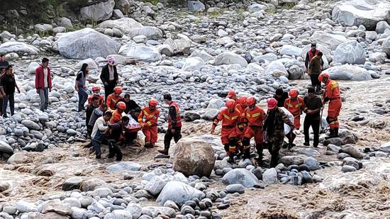
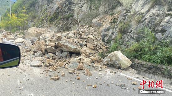
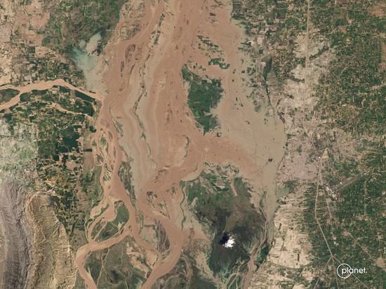
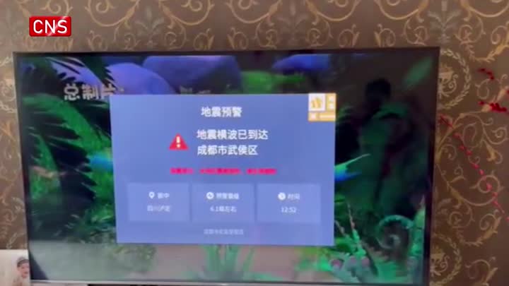
China has applied its Gaofen series satellites to help with relief work following a 6.8-magnitude earthquake in southwest China's Sichuan Province, according to the website of state broadcaster China Central Television (CCTV).
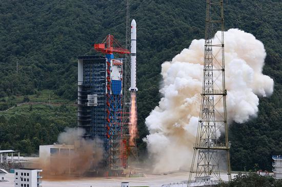
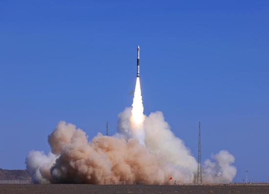
More than 10 satellites were deployed to capture images of the quake-hit areas 10 minutes after the earthquake jolted Sichuan's Luding County at 12:52 p.m. Monday, including the Gaofen-3 01/02/03 satellites, a Gaofen-1 D satellite and a Gaojing-1 satellite, according to the Earth Observation System and Data Center of the China National Space Administration (CNSA).
The Gaofen-3 satellites obtained synthetic aperture radar (SAR) images of the quake-hit areas at 19:11 p.m., which helped experts analyze data and learn more about the damage situation in these areas.
The CNSA will continue to dispatch civil and commercial satellites to support disaster prevention and relief efforts, and provide spatial information support for disaster monitoring and decision-making.


 京公網(wǎng)安備 11010202009201號(hào)