


Chinese scientists will use remote sensing technologies and Big Earth Data to help other countries pursue sustainable development by sharing data, analytical tools and insights, a national political adviser said.
Remote sensing technologies refer to the use of satellite or aircraft-based sensors to acquire information about an object or scientific phenomena without making physical contact. Big Earth Data is big data associated with Earth sciences, including atmospheric conditions, oceanography, geology, human activity and others.
In November, China launched SDGSAT-1, the world's first scientific satellite dedicated to fulfilling the 17 goals highlighted in the United Nations' 2030 Agenda for Sustainable Development.
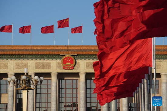
In September, China also opened the International Research Center of Big Data for Sustainable Development Goals in Beijing. It is the world's first institution specialized in using Big Earth Data to realize the SDGs, and its opening received congratulatory messages from President Xi Jinping and UN Secretary-General Antonio Guterres.
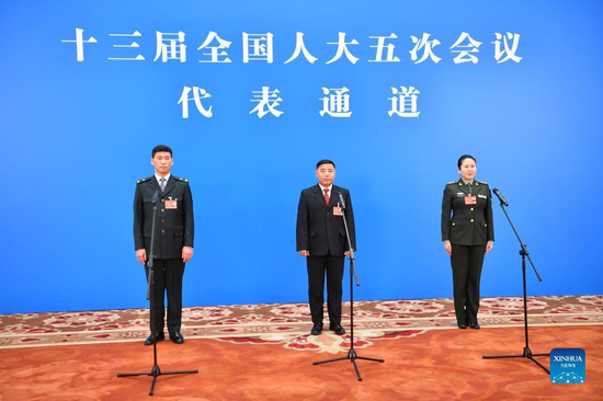
Guo Huadong, a member of the 13th National Committee of the Chinese People's Political Consultative Conference and also the satellite's chief scientist and director of the research center, told China Daily that one of the biggest obstacles to achieving the SDGs is the lack of data to accurately analyze and evaluate their progress.
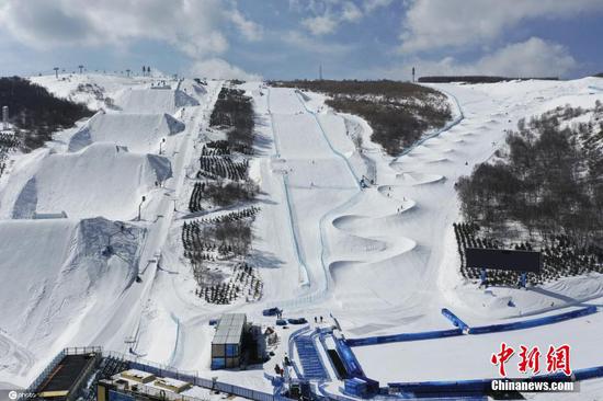
Therefore, the satellite aims to examine traces of human activity to help study SDG indicators related to human-nature interaction, which are crucial for building sustainable cities and communities, Guo said.
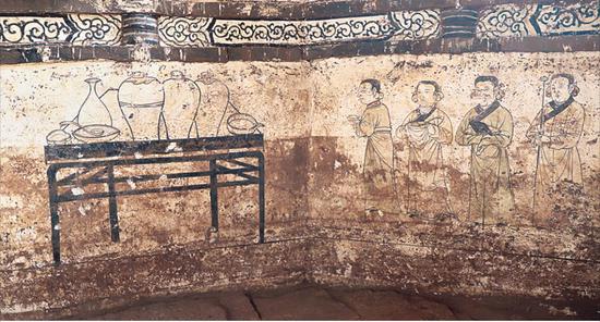
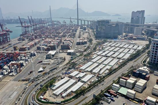
Other SDGs related to climate action, as well as aquatic and terrestrial life conditions can also benefit from having a wealth of Earth sciences data so that researchers and policymakers can make innovations and decisions related to sustainable development based on scientific facts, he said.
Guo said the center is set to release its first batch of data collected by the satellite later this year, and institutions from all countries are welcome to apply for it and use the data for free.
Meanwhile, for those that lack the appropriate tools to process and analyze such big data, the center can also provide cloud computing and other data services to help users make the best use of their information.
In the coming years, Guo said the center will continue to provide data infrastructure and information products related to developing SDGs, provide new insights for SDG monitoring and evaluations.
China is also planning to develop and launch a series of scientific satellites to serve SDGs, and will help developing countries to develop their capacity for achieving their own SDGs, he added.


 京公網安備 11010202009201號