


Chinese researchers have released a high-quality comprehensive dataset of permafrost and related indexes on the Qinghai-Tibet Plateau for the first time, which can provide basic information for research on land-atmosphere interactions and climate change, and for socio-economic development.
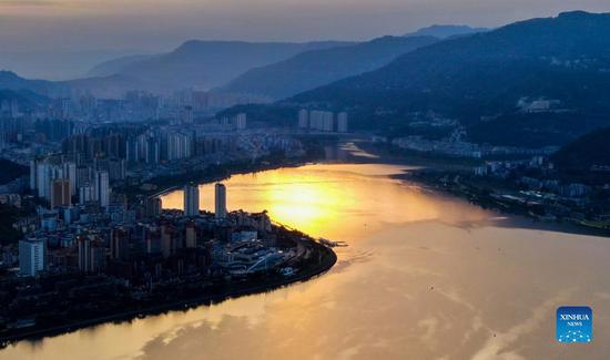
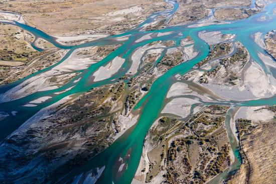
Permafrost is extensively distributed on the Qinghai-Tibet Plateau, currently covering about 1.06 million square kilometers and accounting for nearly half of the areal extent of the plateau. Permafrost has great influences on the climatic, hydrological, ecological and engineering systems in the region.
However, more observational and modeling approaches are deemed necessary for a better understanding of the permafrost thermal state and its relationship with climatic and environmental conditions on the Qinghai–Tibet Plateau.
The joint research team from the Nanjing University of Information Science and Technology (NUIST) and the Chinese Academy of Sciences (CAS) has been devoted to permafrost study on the Qinghai-Tibet Plateau for almost 20 years.
Zhao Lin, professor of Geocryology with the NUIST and also the head of the research team, said they have established a permafrost monitoring network on the Qinghai–Tibet Plateau and have systematically collected rich scientific geocryological data, including meteorological variables, soil temperature, and moisture and ground temperature at depths.
The data showed that since 2002, ground temperatures of permafrost at depths of 10 to 20 meters on the Qinghai-Tibet Plateau increased at rates of 0.02 to 0.78 degree Celsius per decade. Additionally, since 2010, the active layer of the plateau permafrost has thickened by an average of 19 centimeters.
Zhao said that the dataset could and would provide crucial scientific support for comprehensive research on climate, hydrology, and ecology on the Qinghai-Tibet Plateau, and regional ecological environment planning and management. It is also of great significance for engineering construction, sustainable utilization of natural resources and environmental protection.
The dataset is now available at the National Tibetan Plateau/Third Pole Environment Data Center.


 京公網安備 11010202009201號