RIGHT BG


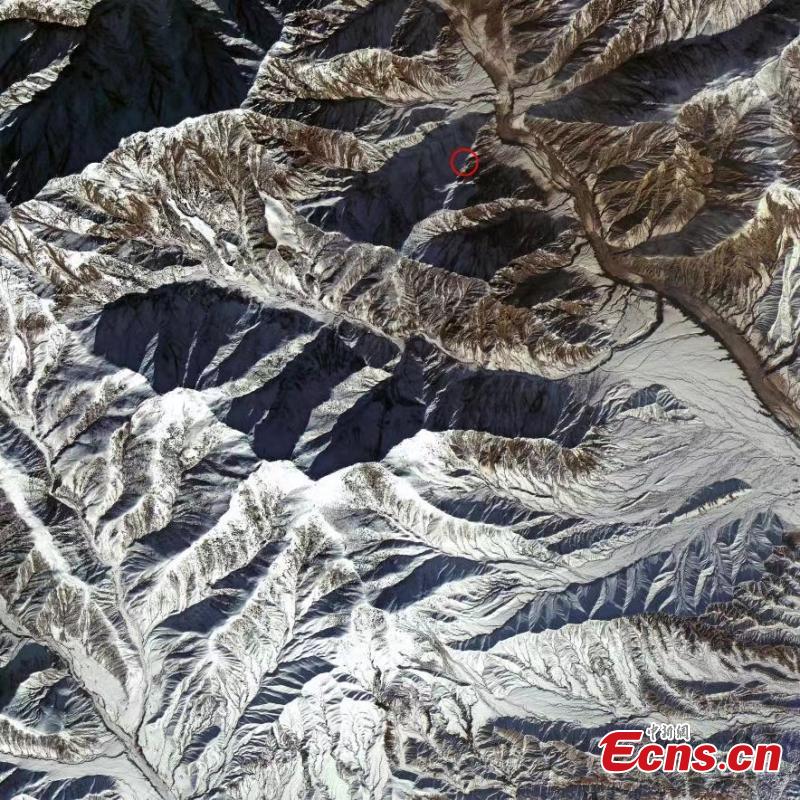
Satellite image captured by China's Gaofen-1 satellite shows earthquake area in Wushi County of Aksu Prefecture, northwest China's Xinjiang Uyghur Autonomous Region, Jan. 23, 2024. (Photo provided to China News Service)
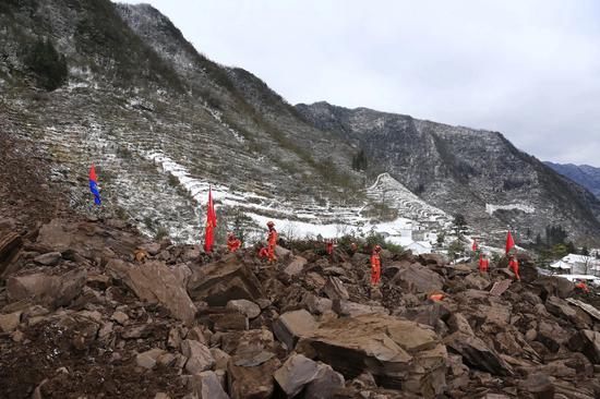
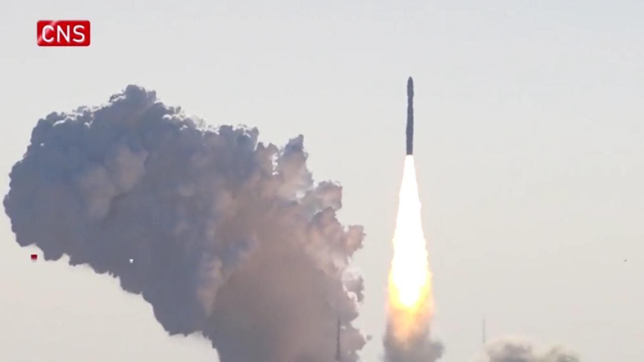
China's commercial satellites joined the rescue relief after a 7.1 magnitude earthquake hit Xinjiang on Tuesday. Satellites including Gaofen-4 and Gaofen-1 families were deployed to capture images of the quake-hit areas.
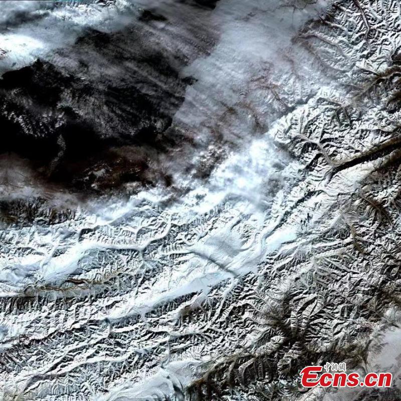
Satellite image captured by China's Huanjing-2 B satellite shows earthquake area in Wushi County of Aksu Prefecture, northwest China's Xinjiang Uyghur Autonomous Region, Jan. 23, 2024. (Photo provided to China News Service)


 京公網安備 11010202009201號] [京ICP備05004340號-1]