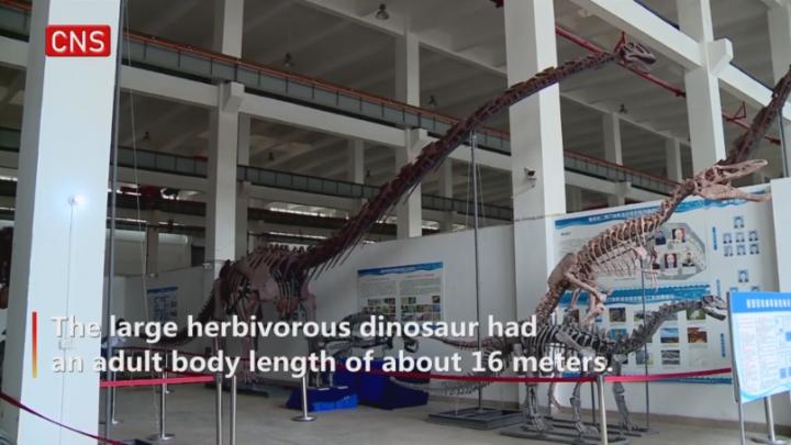
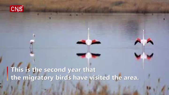
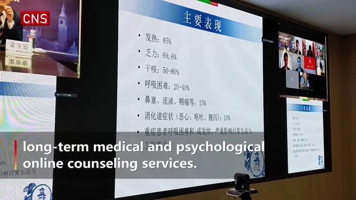
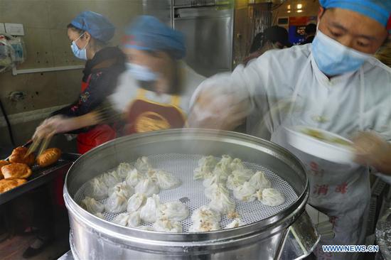
RIGHT BG


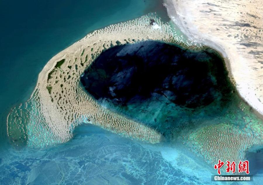
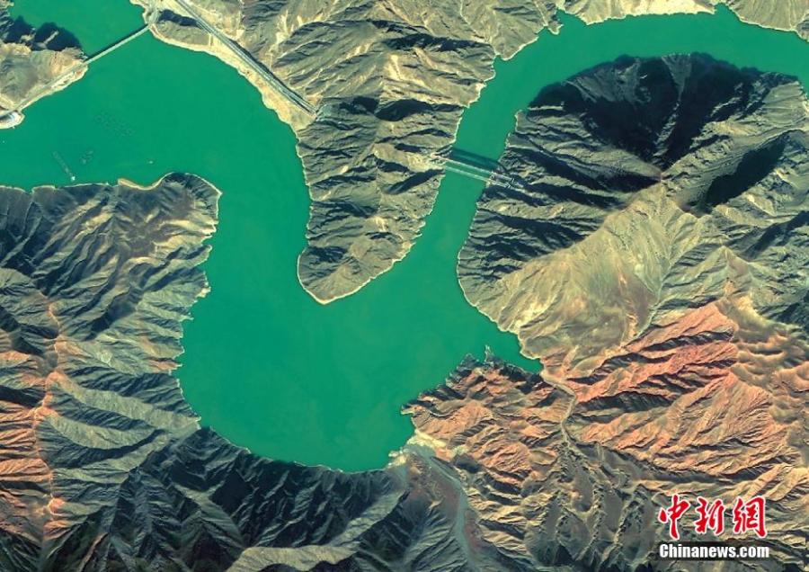
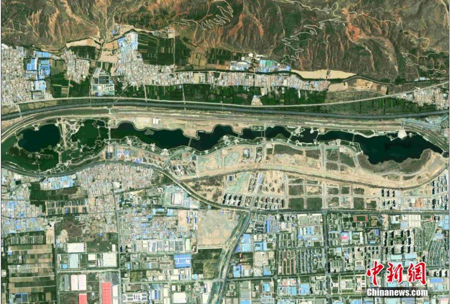
Satellite images of Qinghai Lake, Qaidam Basin, Hoh Xil are released on April 22, 2020 by the Qinghai Geological Survey Institute. The series of satellite images are released by the institute on the Earth Day, to show the natural masterpieces in plateau region, and encourage people to embrace green lifestyles. (Photo provided to China News Service)
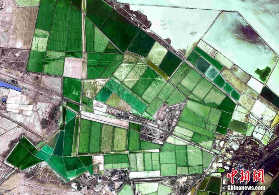
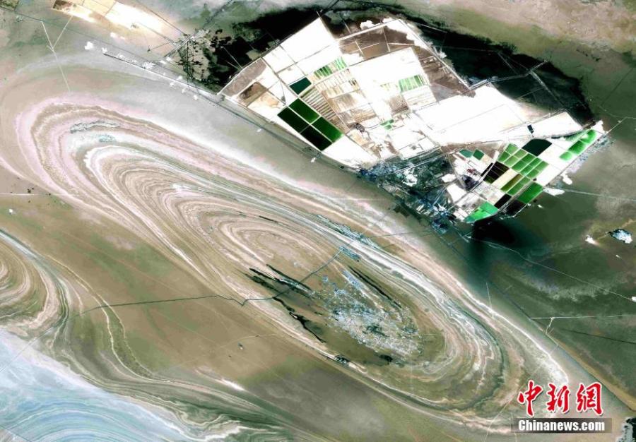
Satellite images of Qinghai Lake, Qaidam Basin, Hoh Xil are released on April 22, 2020 by the Qinghai Geological Survey Institute. The series of satellite images are released by the institute on the Earth Day, to show the natural masterpieces in plateau region, and encourage people to embrace green lifestyles. (Photo provided to China News Service)
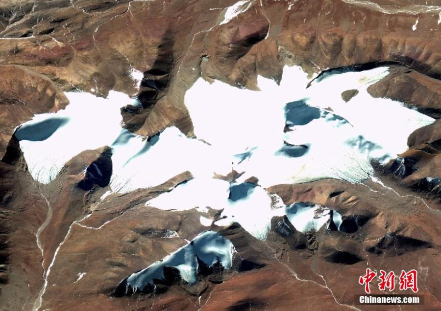
Satellite images of Qinghai Lake, Qaidam Basin, Hoh Xil are released on April 22, 2020 by the Qinghai Geological Survey Institute. The series of satellite images are released by the institute on the Earth Day, to show the natural masterpieces in plateau region, and encourage people to embrace green lifestyles. (Photo provided to China News Service)
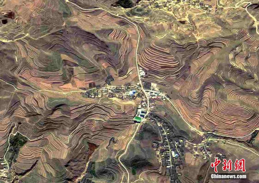
Satellite images of Qinghai Lake, Qaidam Basin, Hoh Xil are released on April 22, 2020 by the Qinghai Geological Survey Institute. The series of satellite images are released by the institute on the Earth Day, to show the natural masterpieces in plateau region, and encourage people to embrace green lifestyles. (Photo provided to China News Service)
Satellite images of Qinghai Lake, Qaidam Basin, Hoh Xil are released on April 22, 2020 by the Qinghai Geological Survey Institute. The series of satellite images are released by the institute on the Earth Day, to show the natural masterpieces in plateau region, and encourage people to embrace green lifestyles. (Photo provided to China News Service)
Satellite images of Qinghai Lake, Qaidam Basin, Hoh Xil are released on April 22, 2020 by the Qinghai Geological Survey Institute. The series of satellite images are released by the institute on the World Earth Day, to show the natural masterpieces in plateau region, and encourage people to embrace green lifestyles. (Photo provided to China News Service)
Satellite images of Qinghai Lake, Qaidam Basin, Hoh Xil are released on April 22, 2020 by the Qinghai Geological Survey Institute. The series of satellite images are released by the institute on the Earth Day, to show the natural masterpieces in plateau region, and encourage people to embrace green lifestyles. (Photo provided to China News Service)