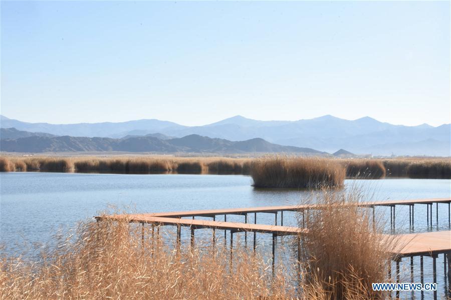
Photo taken on Oct. 10, 2018 shows a scenery at the Keketuohai UNESCO Global Geopark in northwest China's Xinjiang Uygur Autonomous Region. Xinjiang officially opened its first geopark in Keketuohai on Wednesday. Located south of the Altay Mountains and at the source of the Irtysh River, the park covers more than 2,300 square kilometers. Visitors will be able to enjoy breathtaking views including the Irtysh Grand Canyon, a huge mine crater, lakes, mountains, a waterfall, fossils and rivers. UNESCO announced eight new global geoparks in May last year, including Keketuohai. (Xinhua/Zhang Xiaolong)
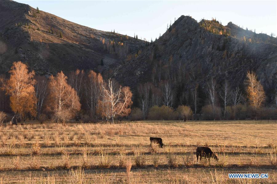
Photo taken on Oct. 10, 2018 shows a scenery at the Keketuohai UNESCO Global Geopark in northwest China's Xinjiang Uygur Autonomous Region. Xinjiang officially opened its first geopark in Keketuohai on Wednesday. Located south of the Altay Mountains and at the source of the Irtysh River, the park covers more than 2,300 square kilometers. Visitors will be able to enjoy breathtaking views including the Irtysh Grand Canyon, a huge mine crater, lakes, mountains, a waterfall, fossils and rivers. UNESCO announced eight new global geoparks in May last year, including Keketuohai. (Xinhua/Zhang Xiaolong)
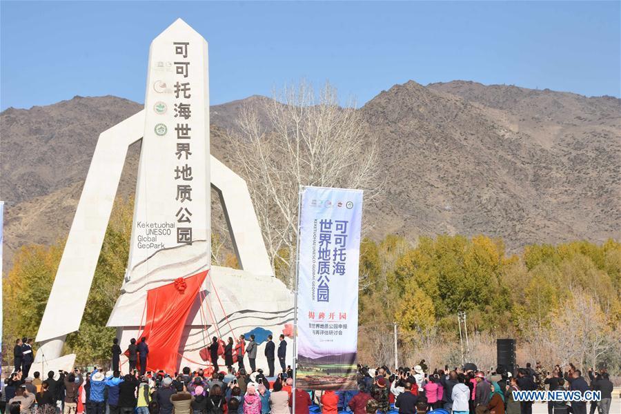
The opening ceremony is held for the Keketuohai UNESCO Global Geopark in northwest China's Xinjiang Uygur Autonomous Region, Oct. 10, 2018. Xinjiang officially opened its first geopark in Keketuohai on Wednesday. Located south of the Altay Mountains and at the source of the Irtysh River, the park covers more than 2,300 square kilometers. Visitors will be able to enjoy breathtaking views including the Irtysh Grand Canyon, a huge mine crater, lakes, mountains, a waterfall, fossils and rivers. UNESCO announced eight new global geoparks in May last year, including Keketuohai. (Xinhua/Zhang Xiaolong)
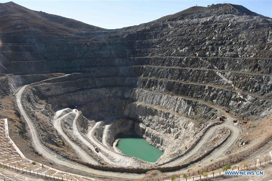
Photo taken on Oct. 10, 2018 shows the scenery of a mine crater at the Keketuohai UNESCO Global Geopark in northwest China's Xinjiang Uygur Autonomous Region. Xinjiang officially opened its first geopark in Keketuohai on Wednesday. Located south of the Altay Mountains and at the source of the Irtysh River, the park covers more than 2,300 square kilometers. Visitors will be able to enjoy breathtaking views including the Irtysh Grand Canyon, a huge mine crater, lakes, mountains, a waterfall, fossils and rivers. UNESCO announced eight new global geoparks in May last year, including Keketuohai. (Xinhua/Zhang Xiaolong)