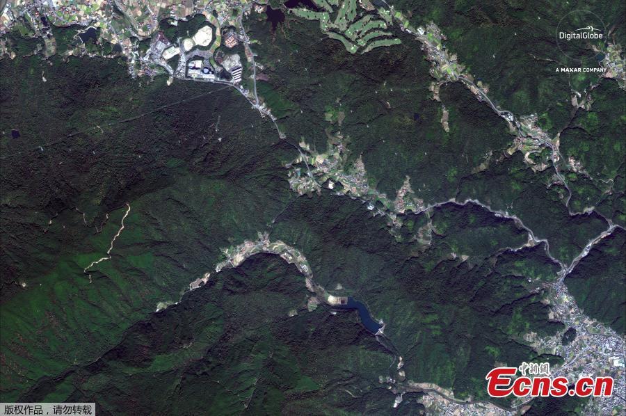
A satellite image of Higashi and Hiroshima roads are shown in this 'before floods' image captured near Hiroshima, Japan, October 26, 2017. (Photo/Agencies)
A satellite image of Higashi and Hiroshima roads are shown in this ‘a(chǎn)fter floods' image captured near Hiroshima, Japan, July 10, 2018. (Photo/Agencies)
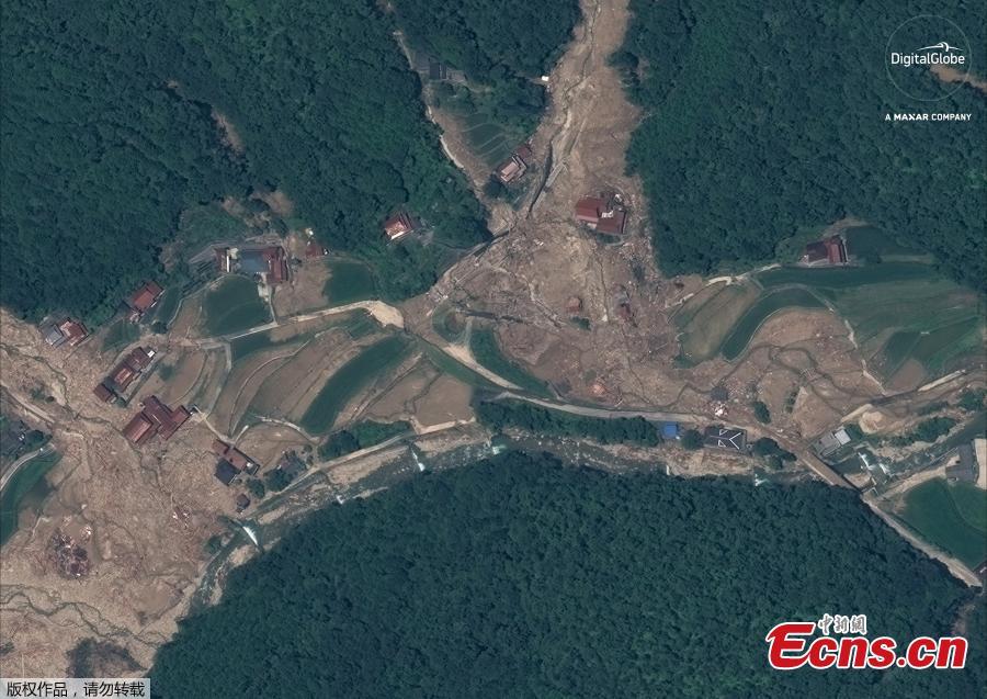
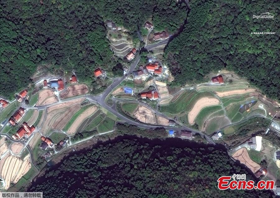
A satellite image of southern Enshoji in Japan before the torrential rains. (Photo/Agencies)
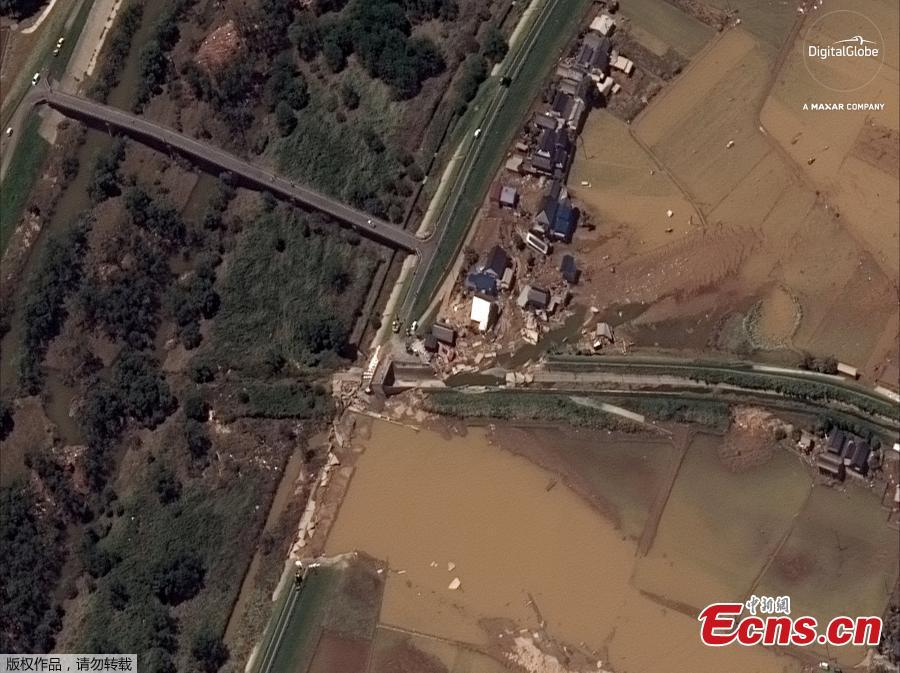
Satellite image of southern Enshoji in Japan after the torrential rains. (Photo/Agencies)
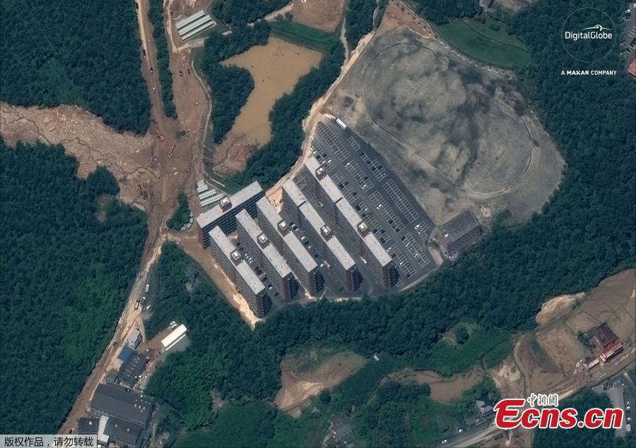
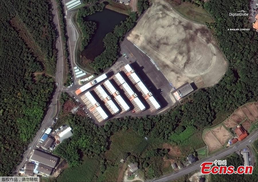
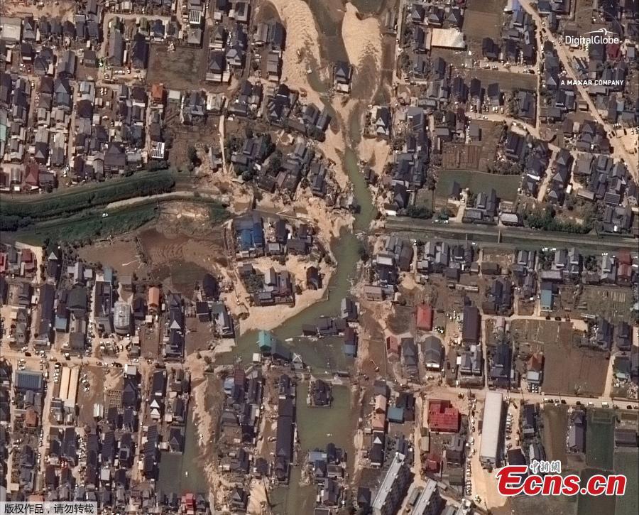
A satellite image captured on July 10, 2018 shows an overview of Yasuura, Japan after the floods. (Photo/Agencies)
A satellite image captured on October 26, 2017 shows Yasuura, Japan before floods. (Photo/Agencies)
A satellite image captured on July 10, 2018 shows flooding along the Oda river in Kurashiki, Japan. (Photo/Agencies)
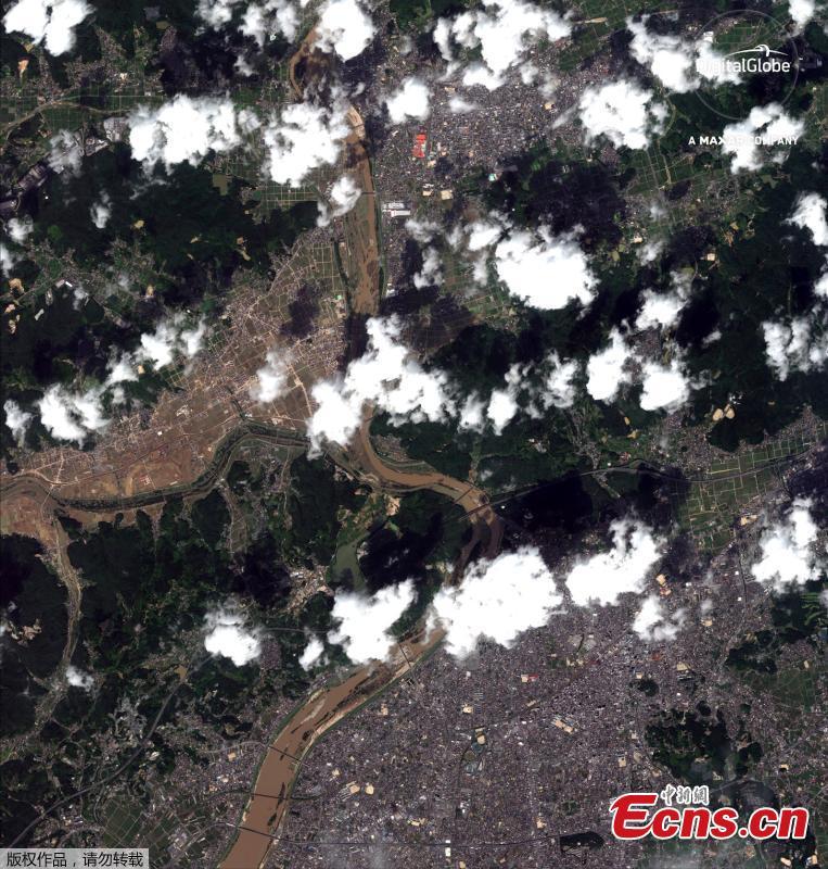
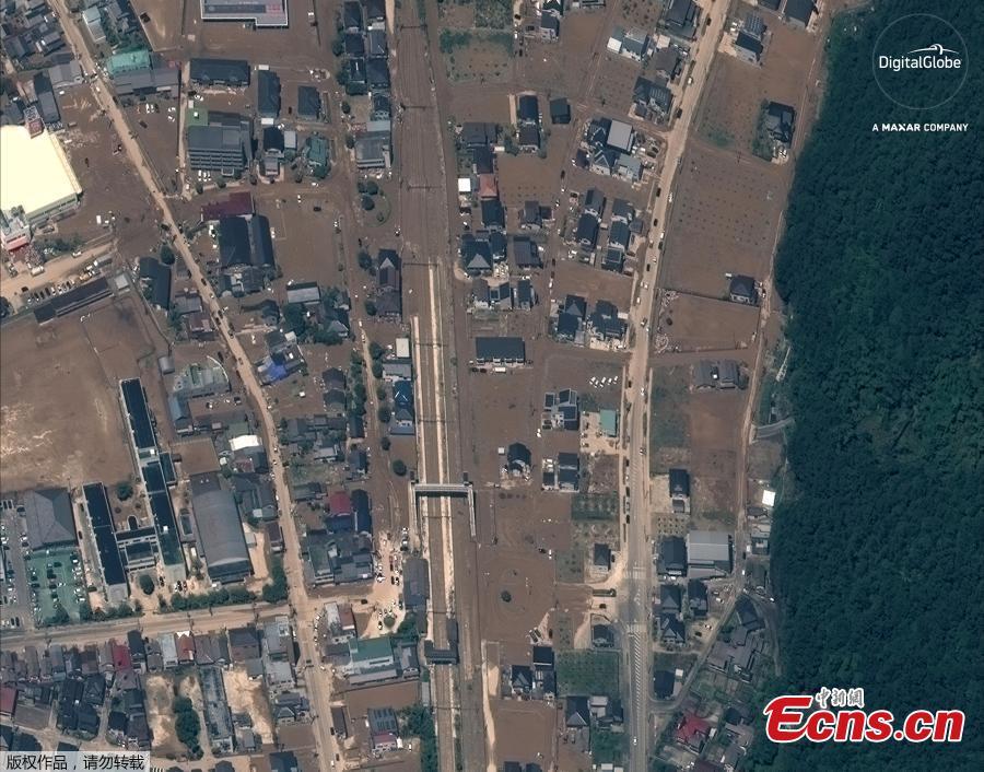
A satellite image captured on July 10, 2018 shows northern Kurashiki, Japan. (Photo/Agencies)
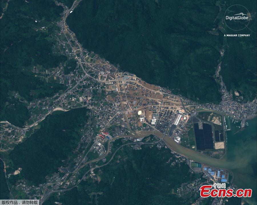
A satellite image captured on July 10, 2018 shows an overview of Yasuura, Japan after the floods. (Photo/Agencies)
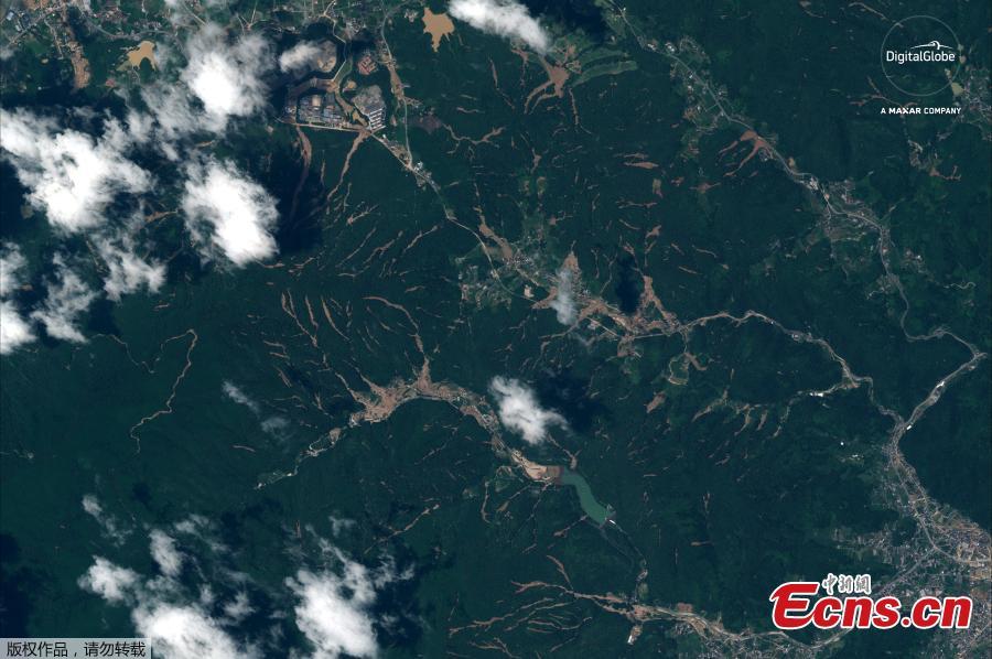
A satellite image captured on July 10, 2018 shows an overview of north of Kurashiki, Japan after the floods. (Photo/Agencies)
A satellite image captured on July 10, 2018 shows an overview of Yasuura, Japan after the floods. (Photo/Agencies)